
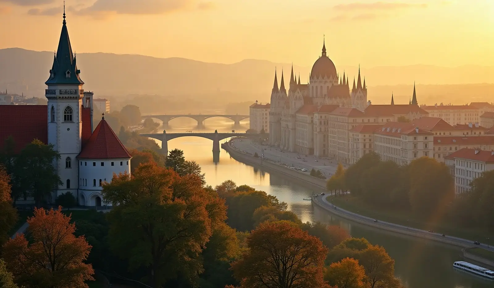
Europe · capital city
 What Is the Capital of Hungary?
The capital of Hungary is Budapest. About 1.8 million people live in the Budapest urban area — 18.7% of the country's population.
Budapest at a glance
Name origin
Buda on the western shore of the Danube and Pest on the eastern shore merged in 1873 to form Budapest; Buda's name may derive from the name of its founder or from a local word meaning "water;" Pest derives from a Slavic word meaning "furnace" or "oven".
Time zone
UTC+1 (6 hours ahead of Washington, DC, during Standard Time). Daylight saving time: +1hr, begins last Sunday in March; ends last Sunday in October.
Coordinates
47 30 N, 19 05 E · IANA time zone Europe/Budapest
Location of Hungary
Central Europe, northwest of Romania
Capitals of neighbouring countries
 Bucharest, Romania — 640 km
 Kyiv, Ukraine — 895 km
Capitals closest to Budapest
 Bratislava, Slovakia — 164 km
 Vienna, Austria — 217 km
 Zagreb, Croatia — 302 km
 Belgrade, Serbia — 316 km
 Ljubljana, Slovenia — 383 km
 Sarajevo, Bosnia and Herzegovina — 407 km
 Prague, Czechia — 444 km
 Warsaw, Poland — 546 km
Straight-line distance between capitals.
Frequently asked questions about Budapest
What is the capital of Hungary?
Is Budapest the largest city in Hungary?
What time zone is Budapest in?
Where does the name Budapest come from?
Which capital is closest to Budapest?
Data: CIA World Factbook (public domain); population: World Bank Open Data (CC BY 4.0).