
Micronesia · UN member

Kiribati: Travel Guide & Requirements
Independent and Sovereign Republic of Kiribati
Kiribati is a country in Micronesia with its capital in Tarawa. It has a population of 136,488 (#186 in the world) and covers 811 km². The official languages are English and Gilbertese. The currency is the Kiribati dollar (KID, $).
Where is Kiribati? Map of Kiribati
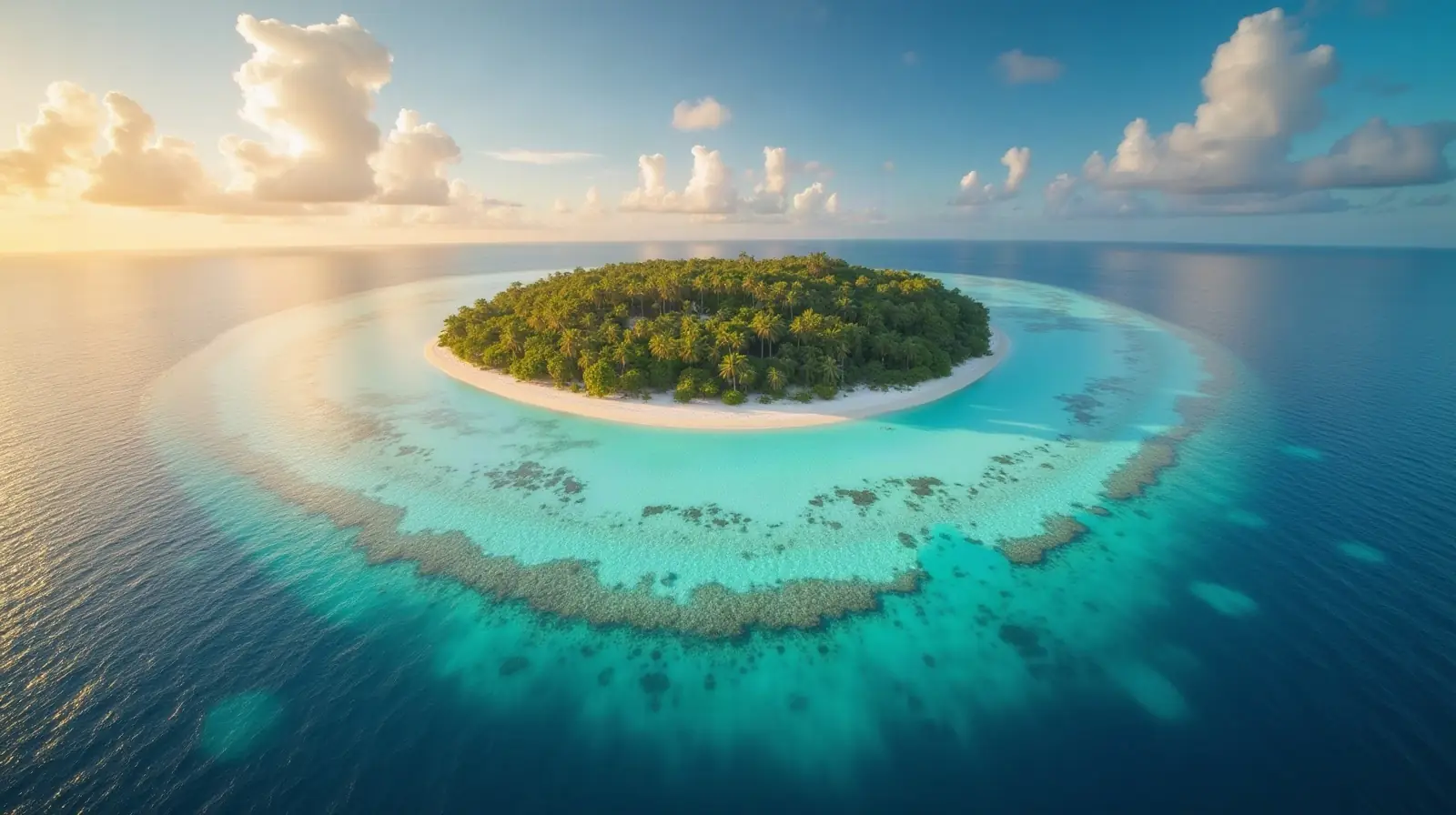
Oceania, group of 32 coral atolls and one raised coral island in the Pacific Ocean, straddling the Equator; the capital Tarawa is about halfway between Hawaii and Australia.
- Region
- Micronesia
- Coordinates
- 1.4167° N, 173° E
- Neighbours
- none (no land borders)
- Coastline
- 1,143 km
- Kiribati
- Capital
Travel requirements
What you need to travel to Kiribati
- Passport
Kiribati's Entry and Visa Exemption Order 2023 requires visa-exempt visitors to hold a passport valid for not less than six months on the day of departure from Kiribati.
- Visa or eTA
Depends on your passport: of 198 passports, 120 need no visa, 78 need a visa from an embassy. Check yours or see Kiribati entry requirements for every passport.
- Return or onward ticket
The UK government says you must hold a ticket for return or onward travel and enough funds for your stay.
- Proof of funds
Kiribati's Immigration Procedures say arriving non-citizens must produce, if required by an immigration officer, evidence of funds for maintenance or of sponsorship, and that visitor visa applicants must meet the funds …
- Travel insurance
No official requirement. The UK government says that if you need any non-basic medical treatment you will usually need medical evacuation from Kiribati, and to make sure you have adequate travel health insurance and accessible funds to cover ev…
- Arrival card
Kiribati's Immigration Procedures say arriving non-citizens present themselves to an immigration officer with a completed arrival card, thereby making an application for entry permission and a visa (if a visa waiver app…
- Travel advice
Safe to visit — US and UK advice.
Entry rules: TravelRequirements.info — Entry Requirements Dataset (CC BY 4.0), each rule cited to an official government source. Always confirm with the airline and the official source before you travel.
Before you go
9 things to know before you travel to Kiribati
- Safety: Yes — Kiribati is generally safe to visit: the US State Department rates Kiribati Level 1 (“Exercise Normal Precautions”), and the UK Foreign Office has no warnings against travel there.
- Best time to go: February and May to November — when daytime highs in Tarawa are around 28–29°C.
- Money: the Kiribati dollar (KID).
- Plugs: type I, 230 V, 50 Hz — standard 220–240 V: devices from the US or Japan (110–120 V) need a converter unless they are dual voltage (100–240 V).
- Emergency numbers: Police 100 / 999, Ambulance 100 / 999, Fire 100 / 999.
- Language: English and Gilbertese are official.
- Driving: on the left — speed limits are 40 km/h in built-up areas and 60 km/h outside built-up areas.
- Time zone: UTC+12 in Tarawa.
- Capital: Tarawa. About 136,488 people live in Kiribati.
Key facts
Kiribati at a glance
Languages spoken: Gilbertese, English (official)
Geography & history
About Kiribati
Kiribati is made up of three distinct island groups -- the Gilbert Islands, the Line Islands, and the Phoenix Islands. The first Austronesian voyagers arrived in the Gilbert Islands as early as 3000 B.C., but these islands were not widely settled until about A.D. 200 by Micronesians. Around 1300, Samoans and Tongans invaded the southern Gilbert Islands, then known as Tungaru, bringing Polynesian cultural elements with them. Later arrivals of Fijians brought Melanesian elements to the Gilbert Islands, and extensive intermarriage between the Micronesian, Polynesian, and Melanesian people led to the creation of what would become Gilbertese cultural traditions by the time Europeans spotted the …
Read the full history
Kiribati is made up of three distinct island groups -- the Gilbert Islands, the Line Islands, and the Phoenix Islands. The first Austronesian voyagers arrived in the Gilbert Islands as early as 3000 B.C., but these islands were not widely settled until about A.D. 200 by Micronesians. Around 1300, Samoans and Tongans invaded the southern Gilbert Islands, then known as Tungaru, bringing Polynesian cultural elements with them. Later arrivals of Fijians brought Melanesian elements to the Gilbert Islands, and extensive intermarriage between the Micronesian, Polynesian, and Melanesian people led to the creation of what would become Gilbertese cultural traditions by the time Europeans spotted the islands in the 1600s. The Phoenix Islands and Line Islands were both visited by various Melanesian and Polynesian peoples, but their isolation and lack of natural resources meant that long-term settlements were not possible. Both island groups were uninhabited by the time of European contact. Kiribati experienced sustained European contact by the 1760s; all three island groups were named and charted by 1826. American whaling ships frequently passed through the islands, and the UK declared a protectorate over the Gilbert and nearby Ellice Islands in 1892, in an attempt to block growing US influence. Phosphate-rich Banaba Island was annexed to the protectorate in 1900. In 1916, the protectorate became a colony, and some Line Islands were added in 1916 and 1919, with the final ones added in 1972. The Phoenix Islands were added to the colony in 1937, and the UK agreed to share jurisdiction of some with the US because of their strategic location for aviation. During World War II, the islands were occupied by Japanese forces but were ejected by US amphibious assaults. The Ellice Islands became its own colony in 1974 and was renamed Tuvalu for “eight standing together” in 1975. The Gilbert Islands became fully self-governing in 1977 and independent in 1979 under the new name of Kiribati, the Gilbertese spelling of Gilberts. The US relinquished all claims to the sparsely inhabited Phoenix and Line Islands in a 1979 treaty of friendship. In 2012, Kiribati purchased a 22 sq km (8.5 sq mi) plot of land in Fiji for potential eventual resettlement of its population because of climate change, and in 2014 Fijian Prime Minister Voreqe BAINIMARAMA said residents of Kiribati would be welcome to relocate to Fiji if their country is swamped by rising sea levels.
Location
Oceania, group of 32 coral atolls and one raised coral island in the Pacific Ocean, straddling the Equator; the capital Tarawa is about halfway between Hawaii and Australia
Climate
tropical; marine, hot and humid, moderated by trade winds
Terrain
mostly low-lying coral atolls surrounded by extensive reefs
Highest point
unnamed elevation on Banaba 81 m
Natural resources
phosphate (production discontinued in 1979), coconuts (copra), fish
Natural hazards
typhoons can occur any time, but usually November to March; occasional tornadoes; low level of some of the islands make them sensitive to changes in sea level
National symbols
frigatebird
Driving
Speed limits & road rules in Kiribati
The default speed limits in Kiribati are 40 km/h in built-up areas and 60 km/h outside built-up areas. The legal alcohol limit for drivers is 0.5‰. Posted signs always take priority over these defaults.
- 4040 km/hBuilt-up areasTowns and citiesWith a trailer: 30 km/h
- 6060 km/hOutside built-up areasCountry roadsWith a trailer: 30 km/h
- International Driving PermitNot a party to the IDP conventionsCheck with the embassy whether your licence is accepted
- Driving sideDrive on the leftOvertake on the right
- Alcohol limit0.5‰ blood alcohol (0.05% BAC)Zero tolerance for young / novice drivers
- Seat beltsRequired by law
- Child seatsNo national child-restraint law
- Motorcycle helmetsRequired for riders
- Road deaths (2021)6.2 per 100,000 peopleSafer than most countries (median 12.4)
Speed limits: OpenStreetMap wiki — Default speed limits (CC BY-SA 2.0). Road-safety laws: WHO Global Health Observatory. Compare speed limits and alcohol limits by country. Defaults for cars; local signs, weather and vehicle type can lower them.
Safety
Is Kiribati safe to visit?
Yes — Kiribati is generally safe to visit: the US State Department rates Kiribati Level 1 (“Exercise Normal Precautions”), and the UK Foreign Office has no warnings against travel there.
 US State Department
 UK Foreign Office (FCDO)
Latest update: Updated information about global travel impacts due to escalation in the Middle East (‘Warnings and insurance’ page).
Updated 19 Mar 2026 · Full travel advice
Sources: US Department of State travel advisories (public domain) and UK FCDO foreign travel advice (contains public sector information licensed under the Open Government Licence v3.0). Checked daily. Advice can change quickly — always read the official page before you travel.
Weather
Best time to visit Kiribati
The best time to visit Kiribati is February and May to November, when daytime highs in Tarawa are around 28–29°C. December to January and March to April are also a good time to go. June is the warmest month (29°C by day), February the coldest (28°C at night), and March the wettest with about 219 mm of rain.
- Jan28°C28°C
- Feb28°C28°C
- Mar28°C28°C
- Apr28°C28°C
- May29°C28°C
- Jun29°C28°C
- Jul29°C28°C
- Aug29°C28°C
- Sep29°C28°C
- Oct29°C28°C
- Nov29°C28°C
- Dec28°C28°C
Best time Good Less ideal
Before you go
Plugs, voltage & emergency numbers in Kiribati
Plugs & sockets
230 V, 50 Hz · Standard 220–240 V: devices from the US or Japan (110–120 V) need a converter unless they are dual voltage (100–240 V).
Sources: Wikipedia — Mains electricity by country and List of emergency telephone numbers (CC BY-SA 4.0).
World rankings
Where Kiribati ranks
How Kiribati compares with the rest of the world — open any card for the full ranking.
Airports
Airports in Kiribati
21 airports and airfields — 2 large, 2 medium and 17 small, plus 0 heliports. 4 have scheduled passenger flights.
Borders
No land borders
Kiribati has no land borders with other countries. Coastline: 1,143 km.
People
Population & society
Religion
Largest cities: Tarawa (64,000)
Economy
Economy
Main industries
fishing, handicrafts
Export partners
Thailand 85%, Japan 6%, Philippines 3%, UAE 2%, Fiji 1% (2023)
Top exports
fish, coconut oil (2023)
Travel tools
Handy before every trip to Kiribati
Next public holiday
Human Rights and Peace Day — Thursday, 10 December 2026. Then Christmas Day (25 Dec).
Kiribati passport
Ranked #83: 79 countries visa-free, 30 with visa on arrival, 4 with an eTA and 39 with an eVisa.
Kiribati passport photo
Exact size, head position and background for Kiribati's passport and visa photos — make one free with AI checks.
Calling Kiribati
Dial +686 before the local number. Internet domain .ki.
Climate footprint
0.1 million tonnes of CO₂ in 2024 — 0.54 t per person.
Entry requirements
Visa rules for every passport visiting Kiribati: visa-free stays, eVisas, visas on arrival and documents to bring.
News
Latest travel news about Kiribati

Nauruans Applying to Study in Australia Now Pay Less for Student Visas
Australia's Department of Home Affairs has confirmed a reduced Student visa (subclass 500) application charge for eligible citizens of 23 Pacific Isl…

Nauru passport holders cut Student visa cost if they apply using their Nauru document
Australia's Department of Home Affairs says citizens of 23 Pacific Island, Timor-Leste and ASEAN countries can pay a reduced Student visa (subclass 5…
Kiribati joins 24 visa-free destinations for Nigerian travellers under new index
Kiribati is one of 24 destinations Nigerian passport holders can enter without a visa in advance, with stays of up to one month, according to the lat…
Frequently asked questions about Kiribati
What do I need to travel to Kiribati?
How long must my passport be valid for Kiribati?
Where is Kiribati?
What is the capital of Kiribati?
What language is spoken in Kiribati?
What currency does Kiribati use?
What is the calling code of Kiribati?
Does Kiribati have land borders?
How strong is the Kiribati passport?
What is the speed limit in Kiribati?
Is Kiribati safe to visit?
When is the best time to visit Kiribati?
What plug type does Kiribati use?
How many airports does Kiribati have?
Sources: CIA World Factbook (public domain); World Bank Open Data (CC BY 4.0); names, languages and currencies: mledoze/countries (ODbL); flag: flag-icons (MIT); coat of arms: Wikimedia Commons (file page); exchange rates: Daily reference rates from the open-source currency-api (CC0); airports: OurAirports.