
Oceania · neighbouring countries
 Neighboring Countries of Kiribati
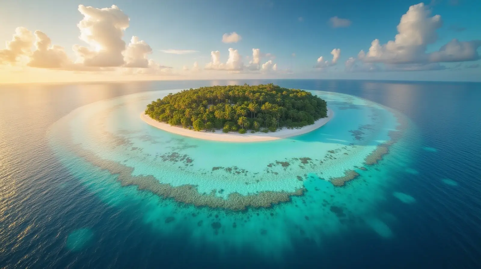
Kiribati has no land borders with any other country — it is surrounded by sea.
- Kiribati
- Neighbouring countries
Geography of Kiribati
Location
Oceania, group of 32 coral atolls and one raised coral island in the Pacific Ocean, straddling the Equator; the capital Tarawa is about halfway between Hawaii and Australia
Area
811 km² — four times the size of Washington, D.C.
Terrain
Mostly low-lying coral atolls surrounded by extensive reefs
Climate
Tropical; marine, hot and humid, moderated by trade winds
Highest and lowest points
Highest: unnamed elevation on Banaba 81 m. Lowest: Pacific Ocean 0 m. Mean elevation: 2 m.
Natural resources
Phosphate (production discontinued in 1979), coconuts (copra), fish
Natural hazards
Typhoons can occur any time, but usually November to March; occasional tornadoes; low level of some of the islands make them sensitive to changes in sea level
Good to know
21 of the 33 islands are inhabited; Banaba (Ocean Island) in Kiribati is one of the three great phosphate rock islands in the Pacific Ocean -- the others are Makatea in French Polynesia, and Nauru; Kiribati is the only country in the world to fall into all four hemispheres (northern, southern, eastern, and western)
Also with 0 neighbours in Oceania
 Neighboring countries of Australia
 Neighboring countries of Fiji
 Neighboring countries of Marshall Islands
 Neighboring countries of Micronesia
 Neighboring countries of Nauru
 Neighboring countries of New Zealand
 Neighboring countries of Palau
 Neighboring countries of Samoa
 Neighboring countries of Solomon Islands
 Neighboring countries of Tonga
- Countries with the most neighbours
- Longest land borders in the world
- Visa-free countries for Kiribati passport holders
- Kiribati visa requirements
Frequently asked questions about the borders of Kiribati
How many countries border Kiribati?
Is Kiribati landlocked?
What is the highest point of Kiribati?
Borders and geography: CIA World Factbook (public domain).