
Oceania · neighbouring countries
 Neighboring Countries of Palau
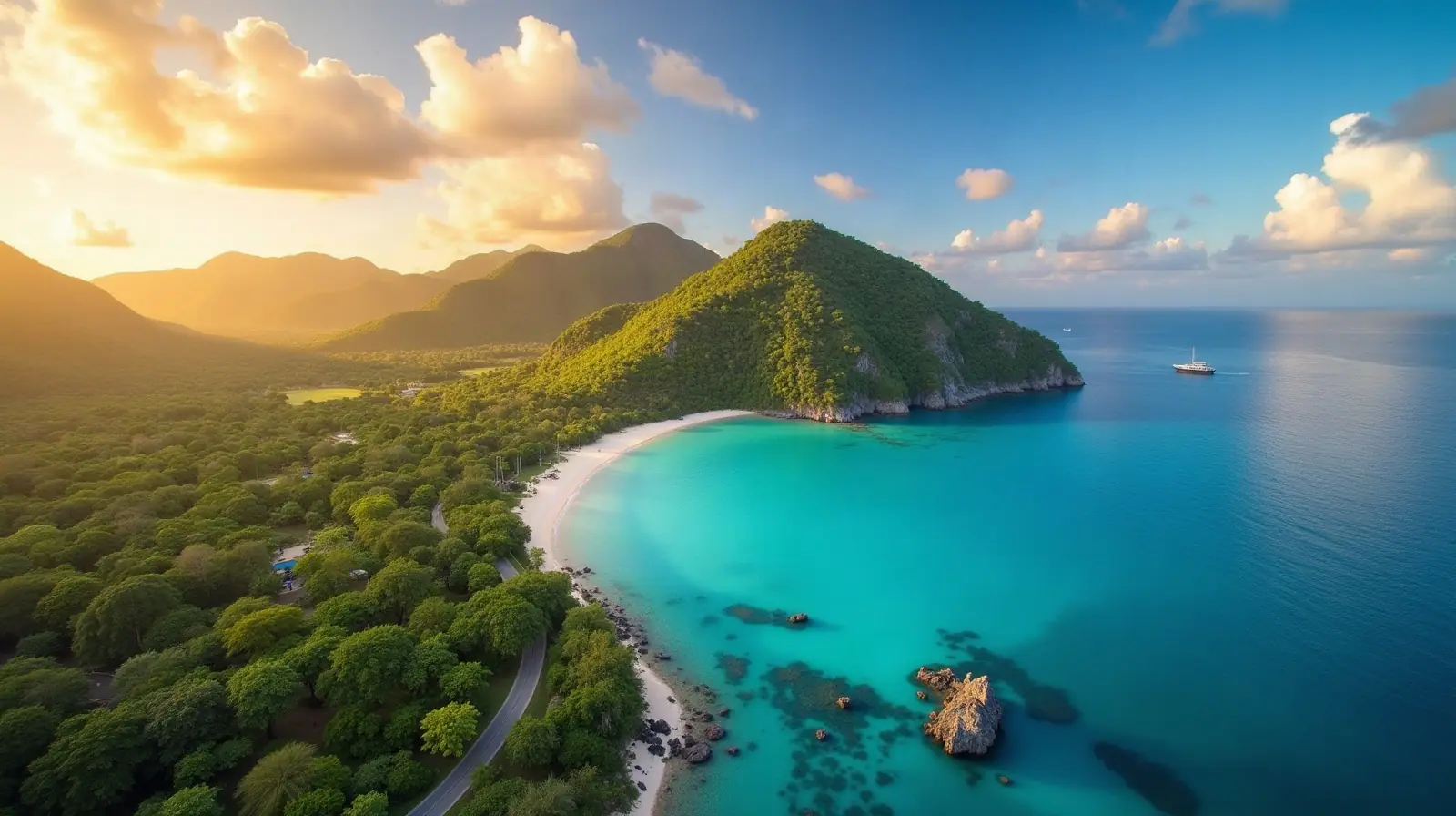
Palau has no land borders with any other country — it is surrounded by sea.
- Palau
- Neighbouring countries
Geography of Palau
Location
Oceania, group of islands in the North Pacific Ocean, southeast of the Philippines
Area
459 km² — slightly more than 2.5 times the size of Washington, D.C.
Terrain
Varying topography from the high, mountainous main island of Babelthuap to low, coral islands usually fringed by large barrier reefs
Climate
Tropical; hot and humid; wet season May to November
Highest and lowest points
Highest: Mount Ngerchelchuus 242 m. Lowest: Pacific Ocean 0 m.
Natural resources
Forests, minerals (especially gold), marine products, deep-seabed minerals
Natural hazards
Typhoons (June to December)
Good to know
Westernmost archipelago in the Caroline chain, consists of six island groups totaling more than 300 islands; includes world-famous Rock Islands
Also with 0 neighbours in Oceania
 Neighboring countries of Australia
 Neighboring countries of Fiji
 Neighboring countries of Kiribati
 Neighboring countries of Marshall Islands
 Neighboring countries of Micronesia
 Neighboring countries of Nauru
 Neighboring countries of New Zealand
 Neighboring countries of Samoa
 Neighboring countries of Solomon Islands
 Neighboring countries of Tonga
- Countries with the most neighbours
- Longest land borders in the world
- Visa-free countries for Palau passport holders
- Palau visa requirements
Frequently asked questions about the borders of Palau
How many countries border Palau?
Is Palau landlocked?
What is the highest point of Palau?
Borders and geography: CIA World Factbook (public domain).