
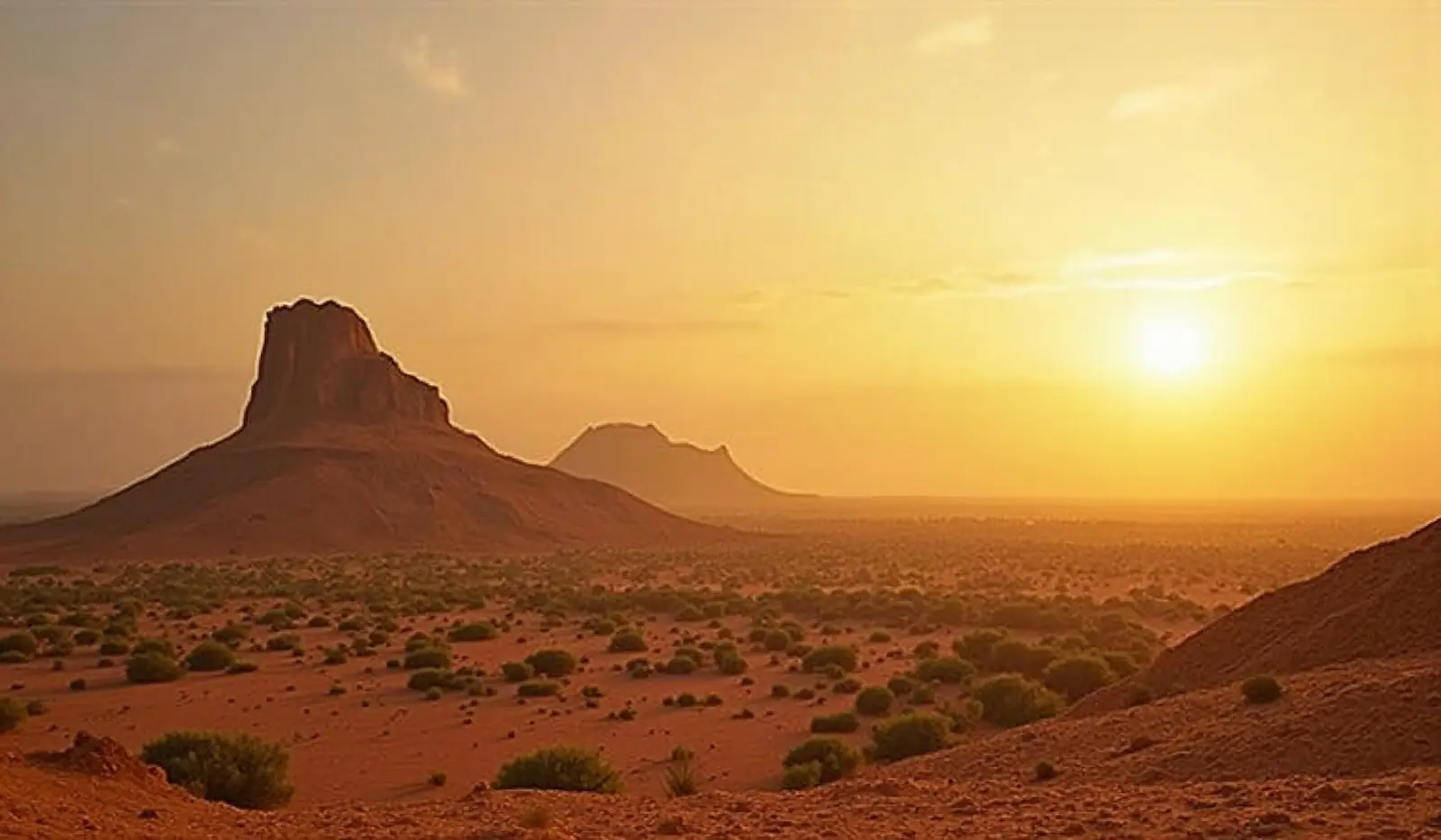
Western Africa · UN member

Mali: Travel Guide & Requirements
Republic of Mali
Mali is a country in Western Africa with its capital in Bamako. It has a population of 25.2 million (#58 in the world) and covers 1,240,192 km². The official language is French. The currency is the West African CFA franc (XOF, Fr).
Where is Mali? Map of Mali
interior Western Africa, southwest of Algeria, north of Guinea, Cote d'Ivoire, and Burkina Faso, west of Niger.
- Region
- Western Africa
- Coordinates
- 17° N, 4° W
- Neighbours
- 7 — see list
- Coastline
- Landlocked
- Mali
- Neighbours
- Capital
- Largest cities
Map of Mali showing Bamako (capital) and the largest cities: Sikasso, Koutiala, Ségou, Kayes, Mopti, Gao, San and Bougouni.
Travel requirements
What you need to travel to Mali
- Passport
The UK Foreign Office says your passport must be valid for the duration of your stay in Mali.
- Visa or eTA
Depends on your passport: of 198 passports, 16 need no visa, 182 need a visa from an embassy. Check yours or see Mali entry requirements for every passport.
- Return or onward ticket
No official requirement.
- Proof of funds
Mali's Law No. 04-058 of 25 November 2004 on the entry of foreigners, which the online visa application shows before the form, says that to enter Mali every foreigner must carry the entry visa and documents on the purpo…
- Travel insurance
No official requirement.
- Vaccinations
The UK Foreign Office says you must have a certificate proving yellow fever vaccination to enter Mali.
- Customs allowance
No official requirement.
- Travel advice
Avoid travel — US and UK advice.
Entry rules: TravelRequirements.info — Entry Requirements Dataset (CC BY 4.0), each rule cited to an official government source. Always confirm with the airline and the official source before you travel.
Before you go
10 things to know before you travel to Mali
- Safety: Governments advise against travel to Mali: the US State Department rates Mali Level 4 (“Do Not Travel”), and the UK Foreign Office advises against all travel to the whole country.
- Best time to go: November to January — when daytime highs in Bamako are around 33–34°C.
- Money: the West African CFA franc (XOF) — 1 US dollar is about 584.5354 XOF.
- Plugs: type C and E, 220 V, 50 Hz — standard 220–240 V: devices from the US or Japan (110–120 V) need a converter unless they are dual voltage (100–240 V).
- Emergency numbers: Police 17, Ambulance 15, Fire 18.
- Language: French is official.
- Driving: on the right — speed limits are 50 km/h in built-up areas and 90 km/h outside built-up areas.
- Time zone: UTC0 in Bamako.
- Capital: Bamako. About 25.2 million people live in Mali.
- Mali is the 24th largest country in the world by area.
Key facts
Mali at a glance
Languages spoken: Bambara (official), French 17.2%, Peuhl/Foulfoulbe/Fulani 9.4%, Dogon 7.2%, Maraka/Soninke 6.4%, Malinke 5.6%, Sonrhai/Djerma 5.6%, Minianka 4.3%, Tamacheq 3.5%, Senoufo 2.6%, Bobo 2.1%, other 6.3%, unspecified 0.7% (2009 est.)
Geography & history
About Mali
Present-day Mali is named after the Mali Empire that ruled the region between the 13th and 16th centuries. At its peak in the 14th century, it was the largest and wealthiest empire in West Africa and controlled an area about twice the size of modern-day France. Primarily a trading empire, Mali derived its wealth from gold and maintained several goldfields and trade routes in the Sahel. The empire also influenced West African culture through the spread of its language, laws, and customs, but by the 16th century, it had fragmented into mostly small chiefdoms. The Songhai Empire, previously a Mali dependency centered in Timbuktu, gained prominence in the 15th and 16th centuries. Under Songhai …
Read the full history
Present-day Mali is named after the Mali Empire that ruled the region between the 13th and 16th centuries. At its peak in the 14th century, it was the largest and wealthiest empire in West Africa and controlled an area about twice the size of modern-day France. Primarily a trading empire, Mali derived its wealth from gold and maintained several goldfields and trade routes in the Sahel. The empire also influenced West African culture through the spread of its language, laws, and customs, but by the 16th century, it had fragmented into mostly small chiefdoms. The Songhai Empire, previously a Mali dependency centered in Timbuktu, gained prominence in the 15th and 16th centuries. Under Songhai rule, Timbuktu became a large commercial center, well-known for its scholarship and religious teaching. Timbuktu remains a center of culture in West Africa today. In the late 16th century, the Songhai Empire fell to Moroccan invaders and disintegrated into independent sultanates and kingdoms. France, expanding from Senegal, seized control of the area in the 1890s and incorporated it into French West Africa as French Sudan. In 1960, French Sudan gained independence from France and became the Mali Federation. When Senegal withdrew after only a few months, the remaining area was renamed the Republic of Mali. Mali saw 31 years of dictatorship until 1991, when a military coup led by Amadou Toumani TOURE ousted the government, established a new constitution, and instituted a multi-party democracy. Alpha Oumar KONARE won Mali's first two democratic presidential elections in 1992 and 1997. In keeping with Mali's two-term constitutional limit, he stepped down in 2002 and was succeeded by Amadou Toumani TOURE, who won a second term in 2007. In 2012, rising ethnic tensions and an influx of fighters -- some linked to Al-Qa’ida -- from Libya led to a rebellion and military coup. Following the coup, rebels expelled the military from the country’s three northern regions, allowing terrorist organizations to develop strongholds in the area. With a 2013 French-led military intervention, the Malian government managed to retake most of the north. However, the government’s grasp in the region remains weak with local militias, terrorists, and insurgent groups competing for control. In 2015, the Malian Government and northern rebels signed an internationally mediated peace accord. Despite a 2017 target for implementation of the agreement, the signatories have made little progress. Terrorist groups were left out of the peace process, and terrorist attacks remain common. Ibrahim Boubacar KEITA won the Malian presidential elections in 2013 and 2018. Aside from security and logistic shortfalls, international observers deemed these elections credible. Terrorism, banditry, ethnic-based violence, and extra-judicial military killings plagued the country during KEITA’s second term. In 2020, the military arrested KEITA, his prime minister, and other senior members of the government and established a military junta called the National Committee for the Salvation of the People (CNSP). The junta then established a transition government and appointed Bah N’DAW, a retired army officer and former defense minister, as interim president and Colonel Assimi GOITA, the coup leader and chairman of the CNSP, as interim vice president. The transition government’s charter allowed it to rule for up to 18 months before calling a general election. In 2021, GOITA led a military takeover, arresting the interim president after a Cabinet shake-up removed GOITA’s key allies. GOITA was sworn in as transition president, and Choguel Kokalla MAIGA was sworn in as prime minister. In 2022, the Economic Community of West African States (ECOWAS) imposed sanctions on the transition government, and member states closed their borders with Mali after the transition government presented a five-year extension to the electoral calendar. The transition government and ECOWAS agreed to a new two-year timeline, which would have included presidential elections in February 2024, but the transition government postponed the elections indefinitely in September 2023 and withdrew from ECOWAS in January 2024.
Location
interior Western Africa, southwest of Algeria, north of Guinea, Cote d'Ivoire, and Burkina Faso, west of Niger
Climate
subtropical to arid; hot and dry (February to June); rainy, humid, and mild (June to November); cool and dry (November to February)
Terrain
mostly flat to rolling northern plains covered by sand; savanna in south, rugged hills in northeast
Highest point
Hombori Tondo 1,155 m
Natural resources
gold, phosphates, kaolin, salt, limestone, uranium, gypsum, granite, hydropower
Natural hazards
hot, dust-laden harmattan haze common during dry seasons; recurring droughts; occasional Niger River flooding
National symbols
Great Mosque of Djenne
Driving
Speed limits & road rules in Mali
The default speed limits in Mali are 50 km/h in built-up areas and 90 km/h outside built-up areas. The legal alcohol limit for drivers is 0.3‰. Posted signs always take priority over these defaults.
- 5050 km/hBuilt-up areasTowns and citiesWHO data (2017)
- 9090 km/hOutside built-up areasCountry roadsWHO data (2017)
- International Driving PermitRecognised: 1949 GenevaCarry the IDP together with your national licence
- Driving sideDrive on the rightOvertake on the left
- Alcohol limit0.3‰ blood alcohol (0.03% BAC)
- Seat beltsRequired by law
- Child seatsNo national child-restraint law
- Motorcycle helmetsRequired for riders
- Road deaths (2021)20.2 per 100,000 peopleHigher than most countries (median 12.4)
Speed limits: OpenStreetMap wiki — Default speed limits (CC BY-SA 2.0) and WHO. Road-safety laws: WHO Global Health Observatory. Compare speed limits and alcohol limits by country. Defaults for cars; local signs, weather and vehicle type can lower them.
Safety
Is Mali safe to visit?
Governments advise against travel to Mali: the US State Department rates Mali Level 4 (“Do Not Travel”), and the UK Foreign Office advises against all travel to the whole country.
 US State Department
 UK Foreign Office (FCDO)
Latest update: Updated information about recent terrorist attacks in Mali (‘Safety and security’ page).
Updated 10 Jul 2026 · Full travel advice
Sources: US Department of State travel advisories (public domain) and UK FCDO foreign travel advice (contains public sector information licensed under the Open Government Licence v3.0). Checked daily. Advice can change quickly — always read the official page before you travel.
Weather
Best time to visit Mali
The best time to visit Mali is November to January, when daytime highs in Bamako are around 33–34°C. February and October are also a good time to go. April is the warmest month (40°C by day), January the coldest (15°C at night), and August the wettest with about 296 mm of rain.
- Jan33°C15°C
- Feb36°C18°C
- Mar39°C22°C
- Apr40°C25°C
- May39°C26°C
- Jun35°C24°C
- Jul31°C23°C
- Aug29°C22°C
- Sep30°C22°C
- Oct33°C22°C
- Nov34°C19°C
- Dec33°C16°C
Best time Good Less ideal
Before you go
Plugs, voltage & emergency numbers in Mali
Plugs & sockets
220 V, 50 Hz · Standard 220–240 V: devices from the US or Japan (110–120 V) need a converter unless they are dual voltage (100–240 V).
Emergency numbers
Save the local numbers before you travel — 112 or 911 may not connect here. All countries →
Sources: Wikipedia — Mains electricity by country and List of emergency telephone numbers (CC BY-SA 4.0).
National parks
4 national parks in Mali
- 31,421 km² protected
- oldest from 1982
Largest: Boucle du Baoulé National Park · Bafing National Park · Kouroufing National Park
Currency · 26 October 2026
West African CFA franc exchange rates today
Mali uses the West African CFA franc (XOF, Fr). One US dollar buys 584.5354 XOF; over the last 30 days the XOF has lost 1.5% against the dollar.
What other currencies cost in XOF
Currency converter
Daily reference rates from the open-source currency-api (CC0), 26 Oct 2026. Banks and exchange offices add a margin.
World rankings
Where Mali ranks
How Mali compares with the rest of the world — open any card for the full ranking.
Airports
Airports in Mali
33 airports and airfields — 2 large, 3 medium and 24 small, plus 4 heliports. 5 have scheduled passenger flights.
Borders
Neighbouring countries
Mali borders 7 countries along 7,908 km of land borders. It is landlocked.


Military
Malian armed forces
Mali ranks #110 of 145 in the Global Firepower military strength ranking, with a defence budget of $953 million (2025).
People
Population & society
Religion
Largest cities: Bamako (2.9 million)
Economy
Economy
Main industries
food processing; construction; phosphate and gold mining
Export partners
UAE 73%, Switzerland 15%, Australia 5%, China 1%, Uganda 1% (2023)
Top exports
gold, cotton, oil seeds, fertilizers, gum resins (2023)
Travel tools
Handy before every trip to Mali
Next public holiday
Christmas Day — Friday, 25 December 2026. Then New Year's Day (1 Jan).
Malian passport
Ranked #141: 31 countries visa-free, 19 with visa on arrival, 2 with an eTA and 43 with an eVisa.
Malian passport photo
Exact size, head position and background for Mali's passport and visa photos — make one free with AI checks.
Calling Mali
Dial +223 before the local number. Internet domain .ml.
Climate footprint
7.0 million tonnes of CO₂ in 2024 — 0.29 t per person.
Entry requirements
Visa rules for every passport visiting Mali: visa-free stays, eVisas, visas on arrival and documents to bring.
News
Latest travel news about Mali
Chad Still Not Issuing Tourist Visas to US Citizens in 2026
Chad's president ordered a suspension of visas for US citizens in June 2025, and the country is not routinely issuing them. Niger, Mali and Burkina F…
Guinea-Bissau police free 71 people from fake jobs and visas scam
Guinea-Bissau's judicial police freed 71 people and arrested four suspects after raiding two houses in Bissau, targeting a network that promised jobs…
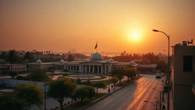
Mali Bars US Citizens From Entering, With Exemptions for Diplomats and Residents
Mali has suspended entry for US citizens in a reciprocity dispute, its Ministry of Foreign Affairs confirmed. Diplomats, athletes, permanent resident…
Frequently asked questions about Mali
What do I need to travel to Mali?
How long must my passport be valid for Mali?
Where is Mali?
What is Mali known for?
What is the capital of Mali?
What language is spoken in Mali?
What currency does Mali use?
What is the calling code of Mali?
Which countries border Mali?
How strong is the Malian passport?
What is the speed limit in Mali?
Is Mali safe to visit?
When is the best time to visit Mali?
What plug type does Mali use?
How many airports does Mali have?
Sources: CIA World Factbook (public domain); World Bank Open Data (CC BY 4.0); names, languages and currencies: mledoze/countries (ODbL); flag: flag-icons (MIT); coat of arms: Wikimedia Commons (file page); exchange rates: Daily reference rates from the open-source currency-api (CC0); airports: OurAirports.