
Africa · neighbouring countries
 Neighboring Countries of Mali
Mali shares land borders with 7 countries: Mauritania (2,236 km), Algeria (1,359 km), Burkina Faso (1,325 km), Guinea (1,062 km), Niger (838 km), Côte d'Ivoire (599 km) and Senegal (489 km).
- Mali
- Neighbouring countries
- Neighbours of neighbours
Countries bordering Mali
| Neighbour | Border length | Capital | Visa for Mali citizens |
|---|---|---|---|
 Mauritania |
Nouakchott | Visa-free | |
 Algeria |
Algiers | Visa-free | |
 Burkina Faso |
Ouagadougou | Visa-free | |
 Guinea |
Conakry | Freedom of movement | |
 Niger |
Niamey | Visa-free | |
 Côte d'Ivoire |
Yamoussoukro | Freedom of movement | |
 Senegal |
Dakar | Visa-free · 90 days |
Mauritania accounts for 28% of Mali's 7,908 km of land borders. Lengths: CIA World Factbook (public domain).
Geography of Mali
Location
Interior Western Africa, southwest of Algeria, north of Guinea, Cote d'Ivoire, and Burkina Faso, west of Niger
Area
1,240,192 km² — slightly less than twice the size of Texas
Terrain
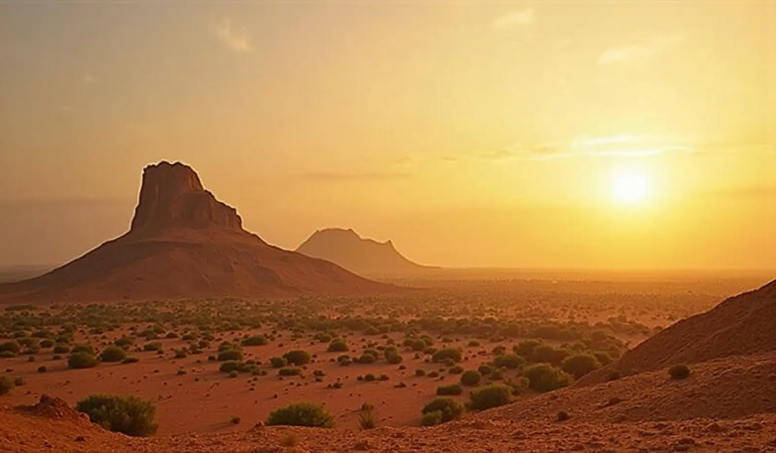
Mostly flat to rolling northern plains covered by sand; savanna in south, rugged hills in northeast
Climate
Subtropical to arid; hot and dry (February to June); rainy, humid, and mild (June to November); cool and dry (November to February)
Highest and lowest points
Highest: Hombori Tondo 1,155 m. Lowest: Senegal River 23 m. Mean elevation: 343 m.
Natural resources
Gold, phosphates, kaolin, salt, limestone, uranium, gypsum, granite, hydropower
Natural hazards
Hot, dust-laden harmattan haze common during dry seasons; recurring droughts; occasional Niger River flooding
Good to know
Landlocked; divided into three natural zones: the southern, cultivated Sudanese; the central, semiarid Sahelian; and the northern, arid Saharan
Neighbours of Mali's neighbours
Countries one border further away — reachable overland through a neighbouring country.
 Benin
 Chad
 Gambia
 Ghana
 Guinea-Bissau
 Liberia
 Libya
 Morocco
 Nigeria
 Sierra Leone
 Togo
 Tunisia
 Western Sahara
 Neighboring countries of Sudan
Frequently asked questions about the borders of Mali
How many countries border Mali?
Which is the longest border of Mali?
Is Mali landlocked?
How long are the land borders of Mali?
Do Mali citizens need a visa for neighbouring countries?
What is the highest point of Mali?
Borders and geography: CIA World Factbook (public domain). Visa rules: TravelRequirements.info — Entry Requirements Dataset, AXG Sp. z o.o. (CC BY 4.0).