
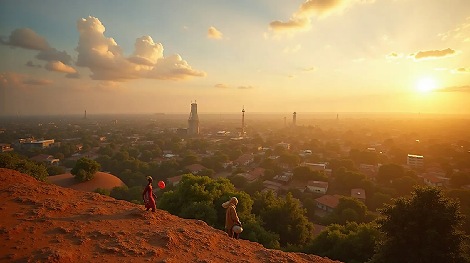
Western Africa · UN member

Benin: Travel Guide & Requirements
Republic of Benin · République du Bénin
Benin is a country in Western Africa with its capital in Porto-Novo. It has a population of 14.8 million (#75 in the world) and covers 112,622 km². The official language is French. The currency is the West African CFA franc (XOF, Fr).
Where is Benin? Map of Benin
Western Africa, bordering the Bight of Benin, between Nigeria and Togo.
- Region
- Western Africa
- Coordinates
- 9.5° N, 2.25° E
- Neighbours
- 4 — see list
- Coastline
- 121 km
- Benin
- Neighbours
- Capital
- Largest cities
Map of Benin showing Porto-Novo (capital) and the largest cities: Parakou, Abomey, Djougou, Nikki, Malanville, Kandi, Kérou and Natitingou.
Travel requirements
What you need to travel to Benin
- Passport
The UK government tells British nationals their passport must be valid for the duration of their stay.
- Visa or eTA
Depends on your passport: of 198 passports, 53 need no visa, 145 need an eVisa. Check yours or see Benin entry requirements for every passport.
- Return or onward ticket
No official source we could find states whether Benin requires a return or onward ticket.
- Proof of funds
No official source we could find states a funds requirement or amount for visitors to Benin.
- Travel insurance
No official requirement. The UK Foreign Office advises checking before you travel that you have appropriate travel insurance for local treatment or unexpected medical evacuation.
- Vaccinations
Benin's Ministry of Health says, in a notice posted on 16 September 2026, that no vaccination card checks, including checks for yellow fever vaccination, are carried out at airports, ports and land borders.
- Customs allowance
The US Department of State says amounts over 5 million CFA francs must be declared, both on entry to Benin and on exit.
- Travel advice
High risk — US and UK advice.
Entry rules: TravelRequirements.info — Entry Requirements Dataset (CC BY 4.0), each rule cited to an official government source. Always confirm with the airline and the official source before you travel.
Before you go
10 things to know before you travel to Benin
- Safety: Travel to Benin carries a high risk: the US State Department rates Benin Level 2 (“Exercise Increased Caution”), and the UK Foreign Office advises against all travel to parts of the country.
- Best time to go: November to February and August — when daytime highs in Porto-Novo are around 27–30°C.
- Money: the West African CFA franc (XOF) — 1 US dollar is about 584.5354 XOF.
- Plugs: type C and E, 220 V, 50 Hz — standard 220–240 V: devices from the US or Japan (110–120 V) need a converter unless they are dual voltage (100–240 V).
- Emergency numbers: Police 117, Ambulance 112, Fire 118.
- Language: French is official.
- Driving: on the right — speed limits are 50 km/h in built-up areas, 90 km/h outside built-up areas and 110 km/h on motorways.
- Time zone: UTC+1 in Porto-Novo.
- Capital: Porto-Novo; the largest city is Abomey-Calavi. About 14.8 million people live in Benin.
- Outdoors: 3 national parks.
Key facts
Benin at a glance
Languages spoken: 55 languages; French (official); Fon (a Gbe language), Yom (a Gur language) and Yoruba are the most important indigenous languages in the south; half a dozen regionally important languages in the north, including Bariba and Fulfulde
Geography & history
About Benin
Present-day Benin is comprised of about 42 ethnic groups, including the Yoruba in the southeast, who migrated from what is now Nigeria in the 12th century; the Dendi in the north-central area, who came from Mali in the 16th century; the Bariba and the Fula in the northeast; the Ottamari in the Atakora mountains; the Fon in the area around Abomey in the south-central area; and the Mina, Xueda, and Aja, who came from Togo, on the coast. The Kingdom of Dahomey emerged on the Abomey plateau in the 17th century and was a regional power for much of the 18th and 19th centuries. The growth of Dahomey coincided with the growth of the Atlantic slave trade, and it became known as a major source of ens…
Read the full history
Present-day Benin is comprised of about 42 ethnic groups, including the Yoruba in the southeast, who migrated from what is now Nigeria in the 12th century; the Dendi in the north-central area, who came from Mali in the 16th century; the Bariba and the Fula in the northeast; the Ottamari in the Atakora mountains; the Fon in the area around Abomey in the south-central area; and the Mina, Xueda, and Aja, who came from Togo, on the coast. The Kingdom of Dahomey emerged on the Abomey plateau in the 17th century and was a regional power for much of the 18th and 19th centuries. The growth of Dahomey coincided with the growth of the Atlantic slave trade, and it became known as a major source of enslaved people. France began to control the coastal areas of Dahomey in the second half of the 19th century; the entire kingdom was conquered by 1894. French Dahomey achieved independence in 1960, and it changed its name to the Republic of Benin in 1975. A succession of military governments ended in 1972 with the rise to power of Mathieu KEREKOU and a Marxist-Leninist government. A move to representative government began in 1989. Two years later, free elections ushered in former Prime Minister Nicephore SOGLO as president, marking the first successful transfer of power in Africa from a dictatorship to a democracy. KEREKOU returned to power after elections in 1996 and 2001. He stepped down in 2006 and was succeeded by Thomas YAYI Boni, a political outsider and independent, who won a second term in 2011. Patrice TALON, a wealthy businessman, took office in 2016; the space for pluralism, dissent, and free expression has narrowed under his administration. TALON won a second term in 2021.
Location
Western Africa, bordering the Bight of Benin, between Nigeria and Togo
Climate
tropical; hot, humid in south; semiarid in north
Terrain
mostly flat to undulating plain; some hills and low mountains
Highest point
unnamed elevation 675 m; located 2.5 km southeast of the town of Kotopounga
Natural resources
small offshore oil deposits, limestone, marble, timber
Natural hazards
hot, dry, dusty harmattan wind may affect north from December to March
National symbols
leopard
Driving
Speed limits & road rules in Benin
The default speed limits in Benin are 50 km/h in built-up areas, 90 km/h outside built-up areas and 110 km/h on motorways. Posted signs always take priority over these defaults.
- 5050 km/hBuilt-up areasTowns and cities
- 9090 km/hOutside built-up areasCountry roads
- 110110 km/hMotorwaysMotorways / freeways
- International Driving PermitRecognised: 1968 Vienna, 1949 GenevaCarry the IDP together with your national licence
- Driving sideDrive on the rightOvertake on the left
- Seat beltsNo national seat-belt law
- Child seatsNo national child-restraint law
- Motorcycle helmetsRequired for riders
- Road deaths (2021)24.8 per 100,000 peopleHigher than most countries (median 12.4)
Speed limits: OpenStreetMap wiki — Default speed limits (CC BY-SA 2.0). Road-safety laws: WHO Global Health Observatory. Compare speed limits and alcohol limits by country. Defaults for cars; local signs, weather and vehicle type can lower them.
Safety
Is Benin safe to visit?
Travel to Benin carries a high risk: the US State Department rates Benin Level 2 (“Exercise Increased Caution”), and the UK Foreign Office advises against all travel to parts of the country.
 US State Department
 UK Foreign Office (FCDO)
Latest update: FCDO now advises against all but essential travel to the remaining areas of the Alibori and Atacora departments. FCDO continues to advise against all but essential travel and all travel to other areas in Benin (‘Warnings and insurance’ page).
Updated 15 Dec 2025 · Full travel advice
Sources: US Department of State travel advisories (public domain) and UK FCDO foreign travel advice (contains public sector information licensed under the Open Government Licence v3.0). Checked daily. Advice can change quickly — always read the official page before you travel.
Weather
Best time to visit Benin
The best time to visit Benin is November to February and August, when daytime highs in Porto-Novo are around 27–30°C. March to May, July and September to October are also a good time to go. February is the warmest month (30°C by day), August the coldest (23°C at night), and June the wettest with about 216 mm of rain.
- Jan30°C23°C
- Feb30°C25°C
- Mar30°C26°C
- Apr29°C26°C
- May29°C25°C
- Jun28°C24°C
- Jul27°C23°C
- Aug27°C23°C
- Sep27°C23°C
- Oct28°C24°C
- Nov29°C25°C
- Dec30°C24°C
Best time Good Less ideal
Before you go
Plugs, voltage & emergency numbers in Benin
Plugs & sockets
220 V, 50 Hz · Standard 220–240 V: devices from the US or Japan (110–120 V) need a converter unless they are dual voltage (100–240 V).
Emergency numbers
112 works from any mobile phone, even without a SIM card in most networks. All countries →
Sources: Wikipedia — Mains electricity by country and List of emergency telephone numbers (CC BY-SA 4.0).
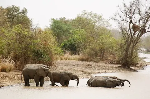
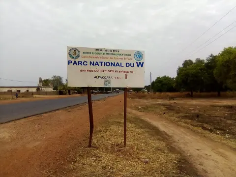
National parks
3 national parks in Benin
- 18,571 km² protected
- oldest from 1954
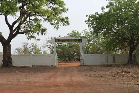
Largest: W National Park · W National Park of Benin · Pendjari National Park
Currency · 26 October 2026
West African CFA franc exchange rates today
Benin uses the West African CFA franc (XOF, Fr). One US dollar buys 584.5354 XOF; over the last 30 days the XOF has lost 1.5% against the dollar.
What other currencies cost in XOF
Currency converter
Daily reference rates from the open-source currency-api (CC0), 26 Oct 2026. Banks and exchange offices add a margin.
World rankings
Where Benin ranks
How Benin compares with the rest of the world — open any card for the full ranking.
Airports
Airports in Benin
10 airports and airfields — 1 large, 0 medium and 9 small, plus 0 heliports. 1 have scheduled passenger flights.
Borders
Neighbouring countries
Benin borders 4 countries along 2,123 km of land borders. Coastline: 121 km.


Military
Beninese armed forces
Benin ranks #144 of 145 in the Global Firepower military strength ranking, with a defence budget of $217 million (2025).
People
Population & society
Religion
Largest cities: Porto-Novo (285,000), Abomey-Calavi (1.3 million), Cotonou (722,000)
Economy
Economy
Main industries
textiles, food processing, construction materials, cement
Export partners
UAE 42%, Bangladesh 20%, India 11%, China 5%, Togo 3% (2023)
Top exports
gold, cotton, coconuts/brazil nuts/cashews, soybeans, wood (2023)
Travel tools
Handy before every trip to Benin
Next public holiday
All Saints' Day — Sunday, 1 November 2026. Then National Day (30 Nov).
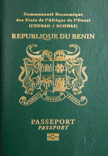
Beninese passport
Ranked #139: 32 countries visa-free, 27 with visa on arrival, 2 with an eTA and 38 with an eVisa.
Beninese passport photo
Exact size, head position and background for Benin's passport and visa photos — make one free with AI checks.
Calling Benin
Dial +229 before the local number. Internet domain .bj.
Climate footprint
6.1 million tonnes of CO₂ in 2024 — 0.42 t per person.
Entry requirements
Visa rules for every passport visiting Benin: visa-free stays, eVisas, visas on arrival and documents to bring.
News
Latest travel news about Benin

More intra-African flights, but visas and fares still deter travellers
Seats on intra-African tourism routes rose 10.5% year-on-year in August 2026, yet visas, high fares and indirect connections still hold back regional…

Guinea-Bissau Travellers Holding Nigerian Passports Get 24 Visa-Free Entries
Nigerian passport holders can enter 24 destinations without arranging a visa in advance, according to the IziVisa Passport Ranking Index, which ranks…
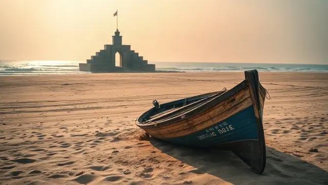
Benin's Africa Tourism Awards bids: traveller votes worth 20%, open until 29 October
Benin is nominated in four categories at the 2026 Africa Tourism Awards, including Country Destination of the Year. Public voting runs until 29 Octob…
Frequently asked questions about Benin
What do I need to travel to Benin?
How long must my passport be valid for Benin?
Where is Benin?
What is Benin known for?
What is the capital of Benin?
What language is spoken in Benin?
What currency does Benin use?
What is the calling code of Benin?
Which countries border Benin?
How strong is the Beninese passport?
What is the speed limit in Benin?
Is Benin safe to visit?
When is the best time to visit Benin?
What plug type does Benin use?
How many airports does Benin have?
Sources: CIA World Factbook (public domain); World Bank Open Data (CC BY 4.0); names, languages and currencies: mledoze/countries (ODbL); flag: flag-icons (MIT); coat of arms: Wikimedia Commons (file page); exchange rates: Daily reference rates from the open-source currency-api (CC0); airports: OurAirports.