
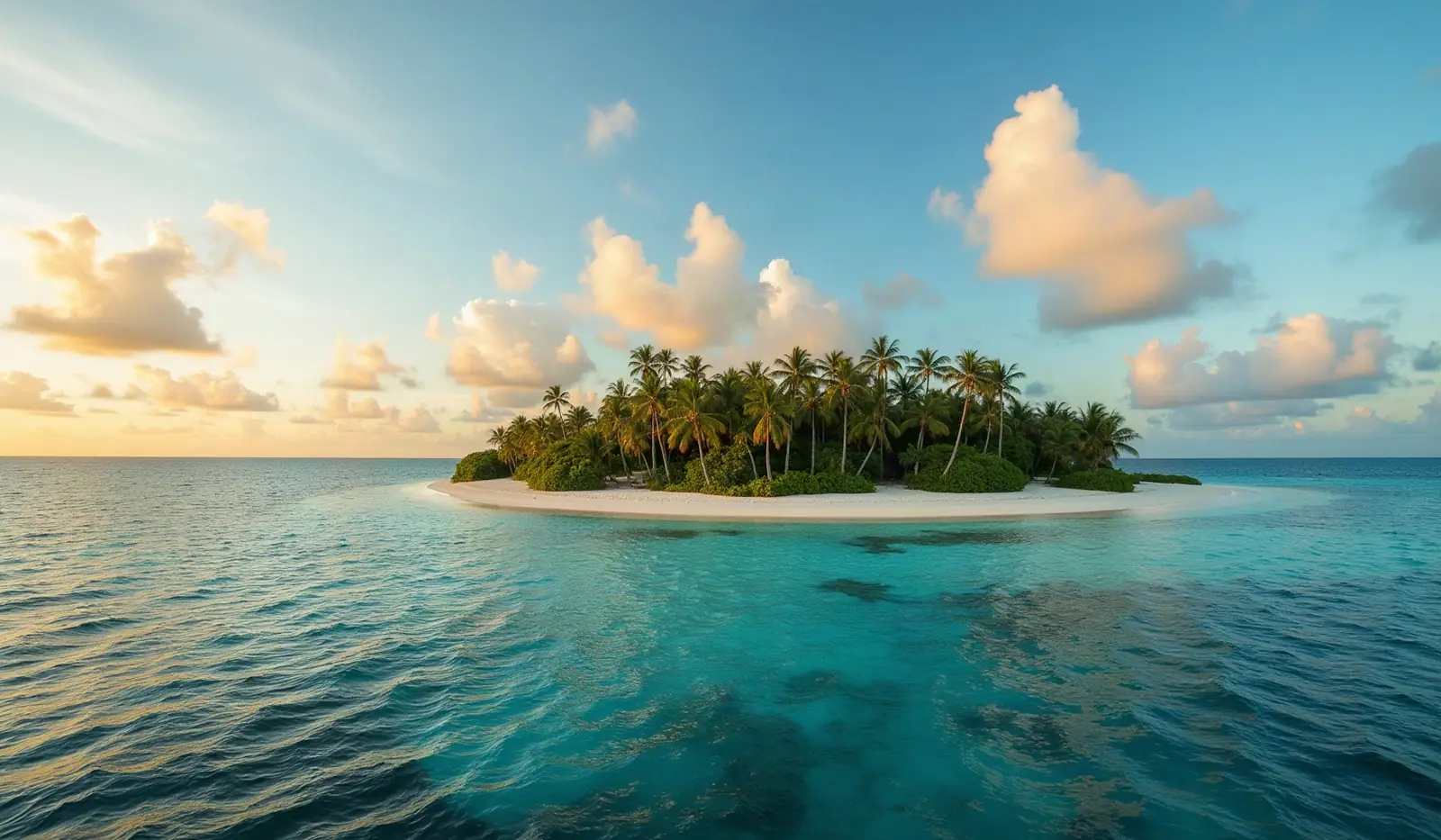
Micronesia · UN member

Marshall Islands: Travel Guide & Requirements
Republic of the Marshall Islands · Republic of the Marshall Islands
The Marshall Islands is a country in Micronesia with its capital in Majuro. It has a population of 36,282 (#211 in the world) and covers 181 km². The official languages are English and Marshallese. The currency is the United States dollar (USD, $).
Where is the Marshall Islands? Map of the Marshall Islands
Oceania, consists of 29 atolls and five isolated islands in the North Pacific Ocean, about halfway between Hawaii and Australia; the atolls and islands are situated in two, almost-parallel island chains - the Ratak (Sunrise) group and the Ralik (Sunset) group; the total number of islands and islets is about 1,225; 22 of the atolls and four of the islands are uninhabited.
- Region
- Micronesia
- Coordinates
- 9° N, 168° E
- Neighbours
- none (no land borders)
- Coastline
- 370 km
- Marshall Islands
- Capital
Travel requirements
What you need to travel to the Marshall Islands
- Passport
The RMI Division of Immigration requires visitors entering on a visa on arrival or visa waiver to hold a passport valid for at least 6 months from the intended date of departure from the Marshall Islands, and Visitor's …
- Visa or eTA
Depends on your passport: of 198 passports, 33 need no visa, 78 get a visa on arrival, 87 need a visa from an embassy. Check yours or see The Marshall Islands entry requirements for every passport.
- Return or onward ticket
Under its general entry requirements for the visa on arrival, the RMI Division of Immigration says all persons entering must hold a confirmed return or onward ticket out of the Marshall Islands and any visa required for…
- Proof of funds
Under its general entry requirements for the visa on arrival, the RMI Division of Immigration says all persons entering must have sufficient funds for the duration of their stay; Visitor's Visa applicants must give evid…
- Travel insurance
No official requirement. The UK government says medical facilities are very limited and to make sure you have comprehensive travel insurance which covers all medical costs, including medical evacuation.
- Vaccinations
The Marshall Islands' Office of Commerce, Investment and Tourism says cholera and yellow fever immunizations are required for those arriving from infected areas.
- Arrival card
No official source we could read describes the arrival or customs form.
- Travel advice
Safe to visit — US and UK advice.
Entry rules: TravelRequirements.info — Entry Requirements Dataset (CC BY 4.0), each rule cited to an official government source. Always confirm with the airline and the official source before you travel.
Before you go
8 things to know before you travel to the Marshall Islands
- Safety: Yes — the Marshall Islands is generally safe to visit: the US State Department rates the Marshall Islands Level 1 (“Exercise Normal Precautions”), and the UK Foreign Office has no warnings against travel there.
- Best time to go: January to March — when daytime highs in Majuro are around 28°C.
- Money: the United States dollar (USD) — 1 euro is about 1.1222 USD.
- Emergency numbers: Police 911, Ambulance 911, Fire 911.
- Language: English and Marshallese are official.
- Driving: on the right — speed limits are 25 mph in built-up areas and 40 mph outside built-up areas.
- Time zone: UTC+12 in Majuro.
- Capital: Majuro. About 36,282 people live in the Marshall Islands.
Key facts
Marshall Islands at a glance
Languages spoken: Marshallese (official) 98.2%, other languages 1.8% (1999)
Geography & history
About the Marshall Islands
Humans arrived in the Marshall Islands in the first millennium B.C. and gradually created permanent settlements on the various atolls. The early inhabitants were skilled navigators who frequently traveled between atolls using stick charts to map the islands. Society became organized under two paramount chiefs, one each for the Ratak (Sunrise) Chain and the Ralik (Sunset) Chain. Spain formally claimed the islands in 1592. Germany established a supply station on Jaluit Atoll and bought the islands from Spain in 1884, although paramount chiefs continued to rule. Japan seized the Marshall Islands in 1914 and was granted a League of Nations Mandate to administer the islands in 1920. The US captu…
Read the full history
Humans arrived in the Marshall Islands in the first millennium B.C. and gradually created permanent settlements on the various atolls. The early inhabitants were skilled navigators who frequently traveled between atolls using stick charts to map the islands. Society became organized under two paramount chiefs, one each for the Ratak (Sunrise) Chain and the Ralik (Sunset) Chain. Spain formally claimed the islands in 1592. Germany established a supply station on Jaluit Atoll and bought the islands from Spain in 1884, although paramount chiefs continued to rule. Japan seized the Marshall Islands in 1914 and was granted a League of Nations Mandate to administer the islands in 1920. The US captured the islands in heavy fighting during World War II, and the islands came under US administration as part of the Trust Territory of the Pacific Islands (TTPI) in 1947. Between 1946 and 1958, the US resettled populations from Bikini and Enewetak Atolls and conducted 67 nuclear tests; people from Ailinginae, Rongelap, and Utrik Atolls were also evacuated because of nuclear fallout, and Bikini and Rongelap remain largely uninhabited. In 1979, the Marshall Islands drafted a constitution separate from the rest of the TTPI and declared independence under President Amata KABUA, a paramount chief. In 2000, Kessai NOTE became the first commoner elected president. In 2016, Hilda HEINE was the first woman elected president.
Location
Oceania, consists of 29 atolls and five isolated islands in the North Pacific Ocean, about halfway between Hawaii and Australia; the atolls and islands are situated in two, almost-parallel island chains - the Ratak (Sunrise) group and the Ralik (Sunset) group…
Climate
tropical; hot and humid; wet season May to November; islands border typhoon belt
Terrain
low coral limestone and sand islands
Highest point
East-central Airik Island, Maloelap Atoll 14 m
Natural resources
coconut products, marine products, deep seabed minerals
Natural hazards
infrequent typhoons
National symbols
a 24-rayed star
Driving
Speed limits & road rules in the Marshall Islands
The default speed limits in the Marshall Islands are 25 mph in built-up areas and 40 mph outside built-up areas. Posted signs always take priority over these defaults.
- SPEED
LIMIT2525 mphBuilt-up areasTowns and cities - SPEED
LIMIT4040 mphOutside built-up areasCountry roads
- International Driving PermitNot a party to the IDP conventionsCheck with the embassy whether your licence is accepted
- Driving sideDrive on the rightOvertake on the left
- Road deaths (2021)11.9 per 100,000 peopleClose to the world median (12.4)
Speed limits: OpenStreetMap wiki — Default speed limits (CC BY-SA 2.0). Road-safety laws: WHO Global Health Observatory. Compare speed limits and alcohol limits by country. Defaults for cars; local signs, weather and vehicle type can lower them.
Safety
Is the Marshall Islands safe to visit?
Yes — the Marshall Islands is generally safe to visit: the US State Department rates the Marshall Islands Level 1 (“Exercise Normal Precautions”), and the UK Foreign Office has no warnings against travel there.
 US State Department
 UK Foreign Office (FCDO)
Latest update: Updated information about global travel impacts due to escalation in the Middle East (‘Warnings and insurance’ page).
Updated 19 Mar 2026 · Full travel advice
Sources: US Department of State travel advisories (public domain) and UK FCDO foreign travel advice (contains public sector information licensed under the Open Government Licence v3.0). Checked daily. Advice can change quickly — always read the official page before you travel.
Weather
Best time to visit the Marshall Islands
The best time to visit the Marshall Islands is January to March, when daytime highs in Majuro are around 28°C. November is the warmest month (29°C by day), February the coldest (28°C at night), and October the wettest with about 276 mm of rain.
- Jan28°C28°C
- Feb28°C28°C
- Mar28°C28°C
- Apr28°C28°C
- May29°C28°C
- Jun29°C28°C
- Jul29°C28°C
- Aug28°C28°C
- Sep29°C28°C
- Oct29°C28°C
- Nov29°C28°C
- Dec29°C28°C
Best time Good Less ideal
Before you go
Plugs, voltage & emergency numbers in the Marshall Islands
Emergency numbers
Save the local numbers before you travel — 112 or 911 may not connect here. All countries →
Sources: Wikipedia — Mains electricity by country and List of emergency telephone numbers (CC BY-SA 4.0).
Currency · 26 October 2026
United States dollar exchange rates today
The Marshall Islands uses the United States dollar (USD, $).
What other currencies cost in USD
Currency converter
Daily reference rates from the open-source currency-api (CC0), 26 Oct 2026. Banks and exchange offices add a margin.
World rankings
Where the Marshall Islands ranks
How the Marshall Islands compares with the rest of the world — open any card for the full ranking.
Airports
Airports in the Marshall Islands
33 airports and airfields — 1 large, 1 medium and 31 small, plus 0 heliports. 16 have scheduled passenger flights.
Borders
No land borders
The Marshall Islands has no land borders with other countries. Coastline: 370 km.
People
Population & society
Religion
Largest cities: Majuro (31,000)
Economy
Economy
Main industries
copra, tuna processing, tourism, craft items (from seashells, wood, and pearls)
Export partners
UK 16%, Germany 13%, Denmark 10%, Ghana 9%, Cyprus 9% (2023)
Top exports
ships, refined petroleum, fish, natural gas, stone processing machines (2023)
Travel tools
Handy before every trip to the Marshall Islands
Next public holiday
Presidents' Day — Tuesday, 17 November 2026. Then Gospel Day (4 Dec).

Marshallese passport
Ranked #85: 75 countries visa-free, 33 with visa on arrival, 4 with an eTA and 40 with an eVisa.
Marshallese passport photo
Exact size, head position and background for the Marshall Islands's passport and visa photos — make one free with AI checks.
Calling the Marshall Islands
Dial +692 before the local number. Internet domain .mh.
Climate footprint
0.2 million tonnes of CO₂ in 2024 — 4.11 t per person.
Entry requirements
Visa rules for every passport visiting the Marshall Islands: visa-free stays, eVisas, visas on arrival and documents to bring.
News
Latest travel news about the Marshall Islands
Travellers to Pacific islands urged to avoid mosquito bites after Maui dengue case
Hawaii's Department of Health has confirmed a tenth travel-related dengue case of 2026, on Maui. All 10 cases this year involved travel to Pacific Is…

Nauru passport holders cut Student visa cost if they apply using their Nauru document
Australia's Department of Home Affairs says citizens of 23 Pacific Island, Timor-Leste and ASEAN countries can pay a reduced Student visa (subclass 5…
Indian Passport Ranks 84th with Visa-Free Access to 55 Countries
India's passport now ranks 84th on the Henley Passport Index, allowing visa-free access to 55 destinations, including the Marshall Islands.
Frequently asked questions about the Marshall Islands
What do I need to travel to the Marshall Islands?
How long must my passport be valid for the Marshall Islands?
Where is the Marshall Islands?
What is the capital of the Marshall Islands?
What language is spoken in the Marshall Islands?
What currency does the Marshall Islands use?
What is the calling code of the Marshall Islands?
Does the Marshall Islands have land borders?
How strong is the Marshallese passport?
What is the speed limit in the Marshall Islands?
Is the Marshall Islands safe to visit?
When is the best time to visit the Marshall Islands?
How many airports does the Marshall Islands have?
Sources: CIA World Factbook (public domain); World Bank Open Data (CC BY 4.0); names, languages and currencies: mledoze/countries (ODbL); flag: flag-icons (MIT); coat of arms: Wikimedia Commons (file page); exchange rates: Daily reference rates from the open-source currency-api (CC0); airports: OurAirports.