
Oceania · neighbouring countries
 Neighboring Countries of Samoa
Samoa has no land borders with any other country — it is surrounded by sea.
- Samoa
- Neighbouring countries
Geography of Samoa
Location
Oceania, group of islands in the South Pacific Ocean, about halfway between Hawaii and New Zealand
Area
2,831 km² — slightly smaller than Rhode Island
Terrain
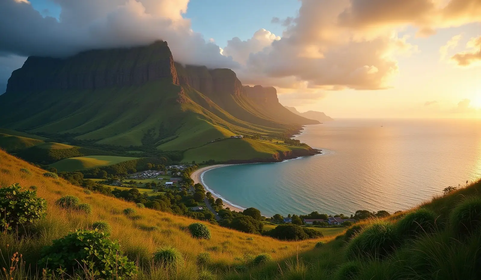
Two main islands (Savaii, Upolu) and several smaller islands and uninhabited islets; narrow coastal plain with volcanic, rugged mountains in interior
Climate
Tropical; rainy season (November to April), dry season (May to October)
Highest and lowest points
Highest: Mount Silisili 1,857 m. Lowest: Pacific Ocean 0 m.
Natural resources
Hardwood forests, fish, hydropower
Natural hazards
Occasional cyclones; active volcanism volcanism: Savai'I Island (1,858 m) is historically active
Good to know
Occupies an almost central position within Polynesia
Also with 0 neighbours in Oceania
 Neighboring countries of Australia
 Neighboring countries of Fiji
 Neighboring countries of Kiribati
 Neighboring countries of Marshall Islands
 Neighboring countries of Micronesia
 Neighboring countries of Nauru
 Neighboring countries of New Zealand
 Neighboring countries of Palau
 Neighboring countries of Solomon Islands
 Neighboring countries of Tonga
- Countries with the most neighbours
- Longest land borders in the world
- Visa-free countries for Samoa passport holders
- Samoa visa requirements
Frequently asked questions about the borders of Samoa
How many countries border Samoa?
Is Samoa landlocked?
What is the highest point of Samoa?
Borders and geography: CIA World Factbook (public domain).