
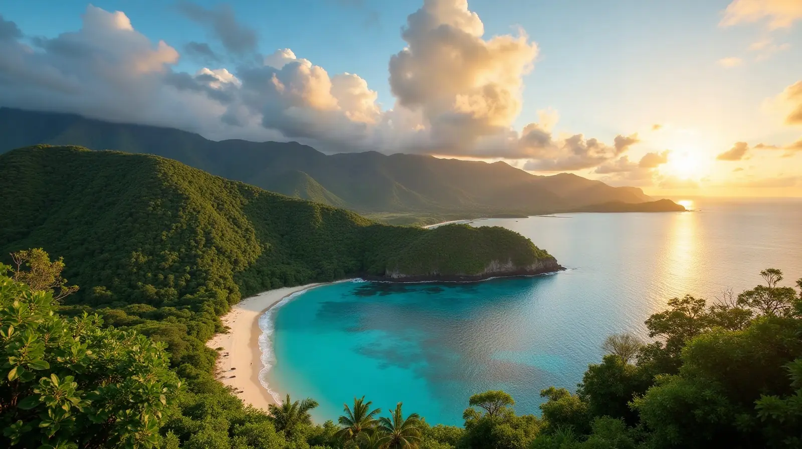
Oceania · neighbouring countries
 Neighboring Countries of Micronesia
Micronesia has no land borders with any other country — it is surrounded by sea.
- Micronesia
- Neighbouring countries
Geography of Micronesia
Location
Oceania, island group in the North Pacific Ocean, about three-quarters of the way from Hawaii to Indonesia
Area
702 km² — four times the size of Washington, D.C. (land area only)
Terrain
Islands vary geologically from high mountainous islands to low, coral atolls; volcanic outcroppings on Pohnpei, Kosrae, and Chuuk
Climate
Tropical; heavy year-round rainfall, especially in the eastern islands; located on southern edge of the typhoon belt with occasionally severe damage
Highest and lowest points
Highest: Nanlaud on Pohnpei 782 m. Lowest: Pacific Ocean 0 m.
Natural resources
Timber, marine products, deep-seabed minerals, phosphate
Natural hazards
Typhoons (June to December)
Good to know
Composed of four major island groups totaling 607 islands
Also with 0 neighbours in Oceania
 Neighboring countries of Australia
 Neighboring countries of Fiji
 Neighboring countries of Kiribati
 Neighboring countries of Marshall Islands
 Neighboring countries of Nauru
 Neighboring countries of New Zealand
 Neighboring countries of Palau
 Neighboring countries of Samoa
 Neighboring countries of Solomon Islands
 Neighboring countries of Tonga
- Countries with the most neighbours
- Longest land borders in the world
- Visa-free countries for Micronesia passport holders
- Micronesia visa requirements
Frequently asked questions about the borders of Micronesia
How many countries border Micronesia?
Is Micronesia landlocked?
What is the highest point of Micronesia?
Borders and geography: CIA World Factbook (public domain).