
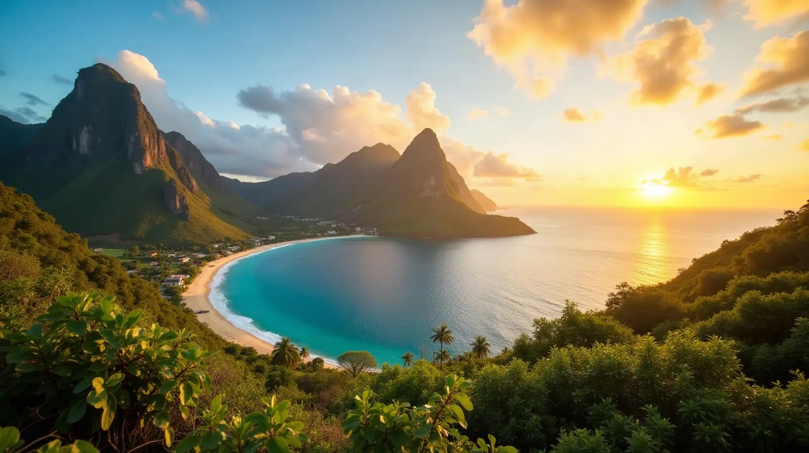
Americas · capital city
 What Is the Capital of Saint Lucia?
Castries
The capital of Saint Lucia is Castries. About 22,000 people live in the Castries urban area — 12.2% of the country's population.
22,000
Urban area population
UTC-4
Time zone
14.00°N
Latitude · 61.00°W
Yes
Largest city
Castries at a glance
Name origin
In 1785, the village of Carenage was renamed Castries, after Charles Eugene Gabriel de La Croix de CASTRIES, who was then the French Minister of the Navy and Colonies.
Time zone
UTC-4 (1 hour ahead of Washington, DC, during Standard Time). No daylight saving time.
Coordinates
14 00 N, 61 00 W · IANA time zone America/Port_of_Spain
Location of Saint Lucia
Caribbean, island between the Caribbean Sea and North Atlantic Ocean, north of Trinidad and Tobago
Capitals closest to Castries
 Kingstown, Saint Vincent and the Grenadines — 99 km
 Roseau, Dominica — 151 km
 Bridgetown, Barbados — 180 km
 Saint George's, Grenada — 232 km
 Plymouth, Montserrat — 327 km
 Saint John's, Antigua and Barbuda — 358 km
 Port of Spain, Trinidad and Tobago — 377 km
 Basseterre, Saint Kitts and Nevis — 410 km
Straight-line distance between capitals.
Frequently asked questions about Castries
What is the capital of Saint Lucia?
The capital of Saint Lucia is Castries. About 22,000 people live in the Castries urban area — 12.2% of the country's population.
Is Castries the largest city in Saint Lucia?
Yes — Castries is also the largest urban area of Saint Lucia (22,000).
What time zone is Castries in?
Castries is on UTC-4 — UTC-4 (1 hour ahead of Washington, DC, during Standard Time). There is no daylight saving time.
Where does the name Castries come from?
In 1785, the village of Carenage was renamed Castries, after Charles Eugene Gabriel de La Croix de CASTRIES, who was then the French Minister of the Navy and Colonies.
Data: CIA World Factbook (public domain); population: World Bank Open Data (CC BY 4.0).