
 Bahamas · national park
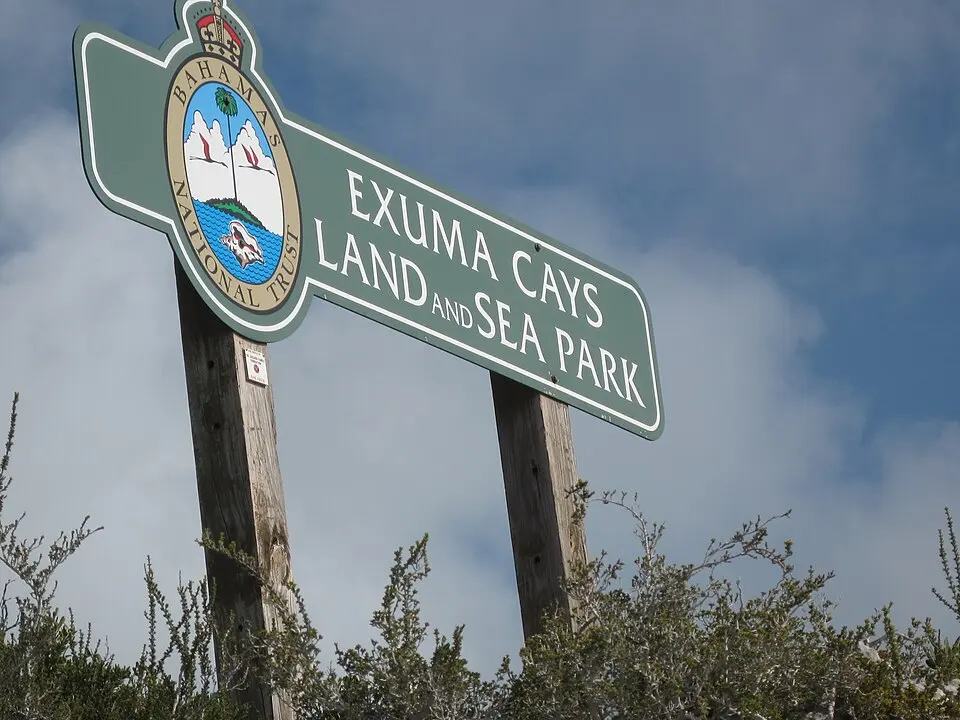
Exuma Cays Land and Sea Park
Exuma Cays Land and Sea Park is a national park in Bahamas, covering 456 km² (176 sq mi). It is the #2 largest of Bahamas's 12 national parks.
- Area
- 456 km²
- Nearest airport
- RSD · 74 km
Nearest airports to Exuma Cays Land and Sea Park
- 1 RSD74 kmstraight line
- 2 TZN96 kmstraight line
- 3 GHB103 kmstraight line
More about Exuma Cays Land and Sea Park
Exuma Cays Land and Sea Park is one of 12 national parks in the Bahamas. It covers 456 km² (45,584 ha) — about 58% of the size of New York City, making it the #2 largest national park in the Bahamas (22.2% of the country's national park area).
Visiting Exuma Cays Land and Sea Park
The closest airport is Rock Sound International Airport (RSD), about 74 km away — around 1 h 36 min by car; alternatively Congo Town Airport (TZN, 96 km). Other national parks within reach include Bonefish Pond National Park (5 km²), Primeval Forest National Park (0 km²), Clifton Heritage National Park and Blue Holes National Park (162 km²) — easy to combine on one trip.
Frequently asked questions
How big is Exuma Cays Land and Sea Park?
What is the nearest airport to Exuma Cays Land and Sea Park?
Data: Wikidata (CC0), English Wikipedia and Wikimedia Commons.