
 Israel · national park
Beit Guvrin National Park
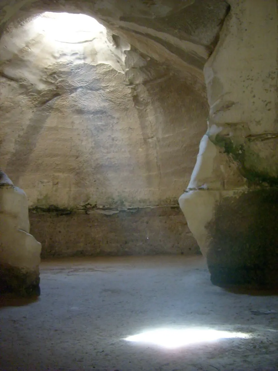
Beit Guvrin National Park is a national park in Israel, covering 2.6 km² (1 sq mi). It is the #5 largest of Israel's 60 national parks.
- Area
- 2.6 km²
- Nearest airport
- TLV · 44 km
Nearest airports to Beit Guvrin National Park
- 1 TLV44 kmstraight line
- 2 AMM104 kmstraight line
- 3 ADJ111 kmstraight line
 Amman, Jordan
More about Beit Guvrin National Park
Beit Guvrin National Park is one of 60 national parks in Israel. It covers 2.6 km² (259 ha) — about 1.3 times the size of Monaco, making it the #5 largest national park in Israel (3.8% of the country's national park area).
Visiting Beit Guvrin National Park
The closest airport is Ben Gurion International Airport (TLV), about 44 km away — around 58 minutes by car; alternatively Queen Alia International Airport (AMM, 104 km). Other national parks within reach include Hazan caves, Gezer, Tel Ashdod (0 km²) and Ein Hinya — easy to combine on one trip.
Frequently asked questions
How big is Beit Guvrin National Park?
2.6 km² — about 259 hectares or 1 square miles.
What is the nearest airport to Beit Guvrin National Park?
Ben Gurion International Airport (TLV), about 44 km away in a straight line.
Data: Wikidata (CC0), English Wikipedia and Wikimedia Commons.