
 Norway · national park
Van Mijenfjorden National Park
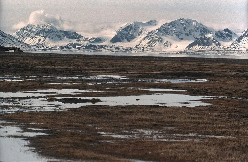
Van Mijenfjorden National Park is a national park in Norway, established in 2021, covering 4,251 km² (1,641 sq mi). It is the #4 largest of Norway's 48 national parks. Parque nacional en las islas Svalbard.
- Area
- 4,251 km²
- Established
- 2021
- Nearest airport
- LYR · 42 km
Nearest airports to Van Mijenfjorden National Park
- 1 LYR42 kmstraight line
More about Van Mijenfjorden National Park
Van Mijenfjorden National Park is one of 48 national parks in Norway — Parque nacional en las islas Svalbard. It covers 4,251 km² (425,100 ha) — about 2.7 times the size of London, making it the #4 largest national park in Norway (6% of the country's national park area).
History and protection
The park was established in 2021, 5 years ago — the first national parks in Norway date back to 1962.
Visiting Van Mijenfjorden National Park
The closest airport is Svalbard Airport, Longyear (LYR), about 42 km away — around 55 minutes by car. Other national parks within reach include Nordre Isfjorden National Park (2,952 km²), Sassen – Bünsow Land National Park (1,231 km²), Sør-Spitsbergen National Park (13,177 km²) and Indre Wijdefjorden National Park (1,127 km²) — easy to combine on one trip.
Frequently asked questions
How big is Van Mijenfjorden National Park?
When was Van Mijenfjorden National Park established?
What is the nearest airport to Van Mijenfjorden National Park?
Data: Wikidata (CC0), English Wikipedia and Wikimedia Commons.