
 Peru · national park
Amotape Hills National Park
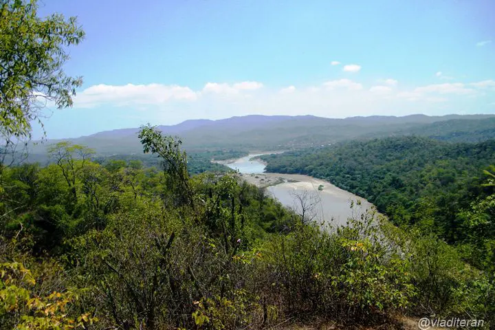
Amotape Hills National Park is a national park in Peru, established in 1975, covering 1,516 km² (585 sq mi). It is the #10 largest of Peru's 16 national parks.
- Area
- 1,516 km²
- Established
- 1975
- IUCN
- II: National Park
- Nearest airport
- TBP · 70 km
Nearest airports to Amotape Hills National Park
- 1Captain Pedro Canga Rodríguez International AirportTBP70 kmstraight lineTumbes, Peru
Airports in PeruTransfers & Meet & Greet →
- 2Captain Victor Montes Arias International AirportTYL88 kmstraight lineTalara, Peru
Airports in PeruTransfers & Meet & Greet →
- 3Santa Rosa - Artillery Colonel Victor Larrea International AirportETR102 kmstraight line
 Santa Rosa, Ecuador
Airports in Ecuador
More about Amotape Hills National Park
Amotape Hills National Park is one of 16 national parks in Peru. It covers 1,516 km² (151,561 ha) — about the size of London, making it the #10 largest national park in Peru (1.6% of the country's national park area).
History and protection
The park was established in 1975, 51 years ago, one of the earliest national parks in Peru (the first dates from 1961). It is listed in IUCN category II: National Park — protecting whole ecosystems while welcoming visitors for recreation and education.
Visiting Amotape Hills National Park
The closest airport is Captain Pedro Canga Rodríguez International Airport (TBP), about 70 km away — around 1 h 31 min by car; alternatively Captain Victor Montes Arias International Airport (TYL, 88 km). Other national parks within reach include Yacurí National Park (481 km²), Podocarpus National Park (1,463 km²), El Cajas National Park (288 km²) and Siete Iglesias Municipal Ecological Conservation Area (160 km²) — easy to combine on one trip.
Frequently asked questions
How big is Amotape Hills National Park?
When was Amotape Hills National Park established?
What is the nearest airport to Amotape Hills National Park?
What protection category is Amotape Hills National Park?
Data: Wikidata (CC0), English Wikipedia and Wikimedia Commons.