
 Philippines · national park
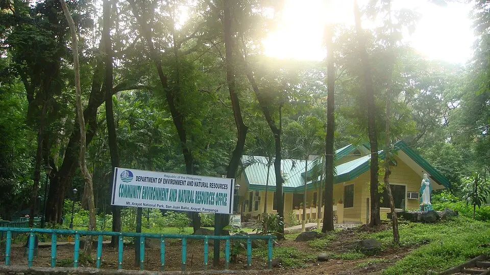
Mount Arayat National Park
Mount Arayat National Park is a national park in Philippines, established in 1937, covering 3,836 km² (1,481 sq mi). It is the #7 largest of Philippines's 41 national parks. Protected area and National Park of the Philippines.
- Area
- 3,836 km²
- Established
- 1937
- IUCN
- V: Protected Landscape/Seascape
- Nearest airport
- CRK · 20 km
Nearest airports to Mount Arayat National Park
- 1Clark International Airport / Clark Air BaseCRK20 kmstraight lineMabalacat, Philippines
Airports in PhilippinesTransfers & Meet & Greet →
- 2Subic Bay International Airport / Naval Air Station Cubi PointSFS68 kmstraight lineOlongapo, Philippines
Airports in Philippines
- 3Ninoy Aquino International AirportMNL82 kmstraight lineManila (Pasay), Philippines
Airports in PhilippinesTransfers & Meet & Greet →
More about Mount Arayat National Park
Mount Arayat National Park is one of 41 national parks in the Philippines — protected area and National Park of the Philippines. It covers 3,836 km² (383,600 ha) — about 2.4 times the size of London, making it the #7 largest national park in the Philippines (6.7% of the country's national park area).
History and protection
The park was established in 1937, 89 years ago — the first national parks in the Philippines date back to 1904. It is listed in IUCN category V: Protected Landscape/Seascape — a protected landscape shaped by people and nature together.
Visiting Mount Arayat National Park
The closest airport is Clark International Airport / Clark Air Base (CRK), about 20 km away — around 25 minutes by car; alternatively Subic Bay International Airport / Naval Air Station Cubi Point (SFS, 68 km). Other national parks within reach include Biak-na-Bato National Park (21 km²), Bataan National Park (257 km²), Aurora Memorial National Park (24 km²) and Mounts-Palay-Palay-Mataas-Na-Gulod National Park (3,995 km²) — easy to combine on one trip.
Frequently asked questions
How big is Mount Arayat National Park?
When was Mount Arayat National Park established?
What is the nearest airport to Mount Arayat National Park?
What protection category is Mount Arayat National Park?
Data: Wikidata (CC0), English Wikipedia and Wikimedia Commons.