
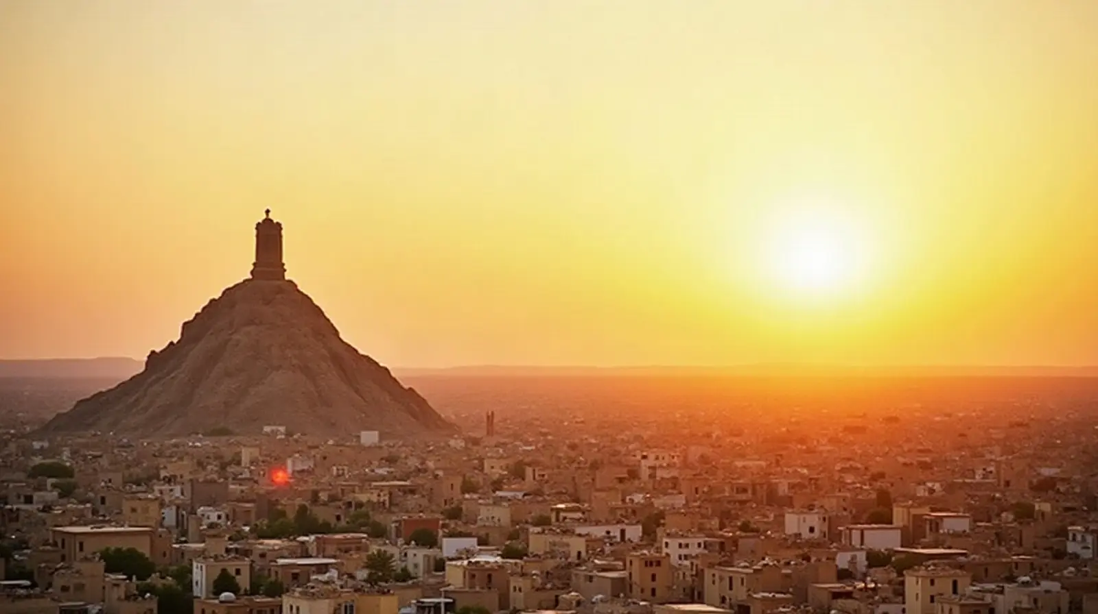
 Iraq · nearest airport
Nearest Airport to Ash Sharqāt: closest airports & distances
The nearest airport to Ash Sharqāt is Qayyarah West Airport (RQW), about 29 km (18 mi) away. The closest large international airport is Mosul International Airport (OSM), 88 km away.
Closest airport
RQW
Qayyarah West Airport
29 km · 18 mi · ~31 min by car
Closest international
OSM
Mosul International Airport
88 km · 55 mi · ~1 h 34 min by car
Airports near Ash Sharqāt
- 1 RQW 29 km18 mi · ~31 min
- 2 OSM 88 km55 mi · ~1 h 34 min
- 3 — 92 km57 mi · ~1 h 39 min
- 4 — 98 km61 mi · ~1 h 45 min
- 5 KIK 102 km63 mi · ~1 h 49 min
- 6 EBL 103 km64 mi · ~1 h 50 min
- 7 — 105 km65 mi · ~1 h 53 min
- 8 ORTF 113 km70 mi · ~2 h 01 min
- 9 — 131 km81 mi · ~2 h 20 min
-
10
Samarra East Air Base / Dhuluiya Airport— 178 km110 mi · ~3 h 10 minDhuluiya, Iraq · Regional · no scheduled flights
Airports in Iraq
Small airfields nearby
- Qayyarah South Airport27 km
- Al Fathah Air Base62 km
- K2 Air Base68 km
Distances are straight-line (great-circle) from the centre of Ash Sharqāt; driving times are estimates. Airport data: OurAirports (public domain).
Frequently asked questions
What is the nearest airport to Ash Sharqāt?
The nearest airport to Ash Sharqāt is Qayyarah West Airport (RQW), about 29 km (18 mi) away. The closest large international airport is Mosul International Airport (OSM), 88 km away.
Which international airport is closest to Ash Sharqāt?
Mosul International Airport (OSM) is 88 km from Ash Sharqāt in a straight line — roughly 1 h 34 min by car.
What other airports are near Ash Sharqāt?
Mosul International Airport (OSM) — 88 km, Tal Ashtah New Air Base — 92 km and Al Sahra Army Air Field — 98 km.
How long does it take to get from Ash Sharqāt to Qayyarah West Airport?
About 31 min by car for the 29 km straight-line distance; the actual time depends on the road and traffic.