
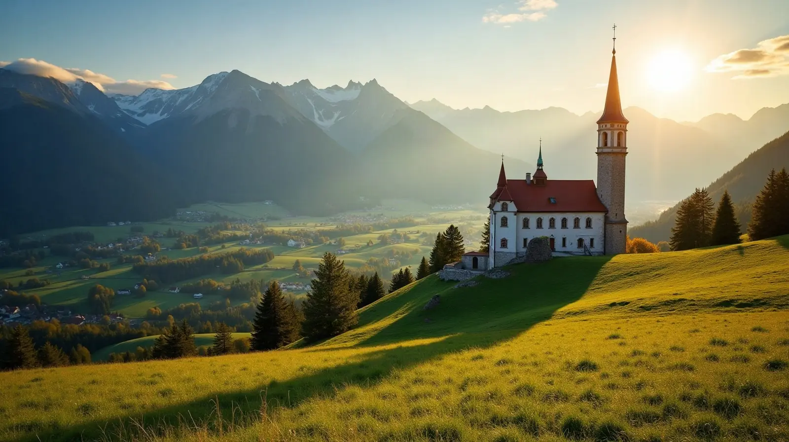
 Upper Austria · Austria · ski area
Hinterstoder ski resort · slopes, lifts & elevation
Hinterstoder is a ski area in Upper Austria, Austria with 35 km of mapped downhill runs and 19 lifts, between 588 m and 1,986 m above sea level.
- Downhill runs
- 35 km
- Lifts
- 19
- Top elevation
- 1,986 m
- Vertical drop
- 1,398 m
- Cross-country
- 18 km
- Nearest airport
- LNZ · 62 km
Slopes by difficulty
72 runs mapped in OpenStreetMap. Colours follow the European piste convention.
Ski lifts
- 7 T-bars
- 7 Magic carpets
- 2 Gondolas
- 2 Chairlifts
- 1 Rope tows
Hinterstoder is a ski area in Upper Austria, Austria. Its 72 mapped downhill runs add up to 35 km, which ranks it #50 of 324 ski areas in Austria and gives it 0.5% of all the country's slopes. The average run is about 489 m long.
Slopes at Hinterstoder
About 43% of the slopes are beginner or easy runs, 45% intermediate and 12% advanced or expert, which makes Hinterstoder a balanced resort for intermediate skiers.
Lifts and elevation
The resort has 19 lifts: 7 t-bars, 7 magic carpets, 2 gondolas, 2 chairlifts, 1 rope tow. Most uphill transport is by surface lifts (T-bars, button lifts and tows). Skiing runs from 588 m up to 1,986 m, a vertical drop of 1,398 m — the kind of long descents found in big Alpine-style resorts. Cross-country skiers get 17.8 km of nordic trails.
Getting to Hinterstoder
The nearest airport is Linz-Hörsching Airport (LNZ), about 62 km away in a straight line — roughly 1 h 21 min by car; Salzburg Airport (SZG) is 88 km away. Nearby ski areas include Wurzeralm (23.2 km), Spechtenseelift - Wörschachwald (2.0 km), Tauplitz / Bad Mitterndorf (34.9 km) and Kasberg Grünau - Almtal (24.5 km), which together add 109 km of slopes for a multi-resort trip.
Nearest airports to Hinterstoder
- 1 LNZ62 kmstraight line
- 2 SZG88 kmstraight line
- 3 KLU116 kmstraight line
- 4 GRZ123 kmstraight line
Nearby
Ski resorts near Hinterstoder
- 10 kmWurzeralm23 km of slopes · 19 lifts · up to 1,859 m
- 14 kmSpechtenseelift - Wörschachwald2.0 km of slopes · 1 lift · up to 1,259 m
- 18 kmTauplitz / Bad Mitterndorf35 km of slopes · 18 lifts · up to 1,963 m
- 21 kmKasberg Grünau - Almtal25 km of slopes · 13 lifts · up to 1,598 m
- 29 kmKaiserau3.4 km of slopes · 5 lifts · up to 1,369 m
- 30 kmLoser-Altaussee21 km of slopes · 10 lifts · up to 1,764 m
- 31 kmPlanneralm14 km of slopes · 7 lifts · up to 1,957 m
- 34 kmLanglaufzentrum Rettenbachalmup to 655 m
- 34 kmRiesneralm - Donnersbachwald27 km of slopes · 8 lifts · up to 1,818 m
- 36 kmFeuerkogel11 km of slopes · 9 lifts · up to 1,675 m
- 36 kmHohentauern8.1 km of slopes · 5 lifts · up to 1,723 m
- 39 kmGalsterberg13 km of slopes · 5 lifts · up to 1,976 m
Frequently asked questions
How many kilometres of slopes does Hinterstoder have?
How high is Hinterstoder?
What is the nearest airport to Hinterstoder?
How many ski lifts does Hinterstoder have?
Data: OpenSkiMap — © OpenStreetMap contributors & Skimap.org (ODbL 1.0). Run lengths are measured along mapped pistes; resorts may publish different figures.