
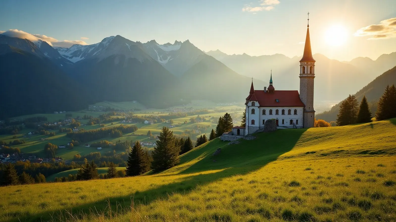
 Tyrol · Austria · ski area
Langlaufen Lechtal ski resort · slopes, lifts & elevation
Langlaufen Lechtal is a ski area in Tyrol, Austria, between 894 m and 1,119 m above sea level.
- Downhill runs
- —
- Lifts
- —
- Top elevation
- 1,119 m
- Vertical drop
- 225 m
- Cross-country
- 76 km
- Nearest airport
- INN · 67 km
Langlaufen Lechtal is a ski area in Tyrol, Austria.
Lifts and elevation
Skiing runs from 894 m up to 1,119 m, a vertical drop of 225 m — typical of a local ski hill. Cross-country skiers get 76.4 km of nordic trails.
Getting to Langlaufen Lechtal
The nearest airport is Innsbruck Airport (INN), about 67 km away in a straight line — roughly 1 h 27 min by car; Sankt Gallen Altenrhein Airport (ACH) is 71 km away. Nearby ski areas include Knittellifte (1.6 km), Gramais, Jöchelspitze (5.1 km) and Gföllberglift (2.2 km), which together add 10 km of slopes for a multi-resort trip.
Nearest airports to Langlaufen Lechtal
- 1 INN67 kmstraight line
- 2 ACH71 kmstraight line
- 3 FMM78 kmstraight line
- 4Bodensee Airport FriedrichshafenFDH83 kmstraight line
 Friedrichshafen, Germany
Airports in GermanyTransfers & Meet & Greet →
 St. Gallen, Switzerland
Nearby
Ski resorts near Langlaufen Lechtal
- 3 kmKnittellifte1.6 km of slopes · 3 lifts · up to 1,226 m
- 7 kmGramais1 lift · up to 1,355 m
- 7 kmJöchelspitze5.1 km of slopes · 2 lifts · up to 1,762 m
- 10 kmGföllberglift2.2 km of slopes · 1 lift · up to 1,316 m
- 11 kmPfafflar1 lift · up to 1,365 m
- 11 kmSkilifte Stanzach1.5 km of slopes · 3 lifts · up to 1,050 m
- 16 kmSkigebiet NebelhornGermany12 km of slopes · 7 lifts · up to 2,213 m
- 17 kmFlirsch0.3 km of slopes · up to 1,218 m
- 18 kmHoch-Imst7.2 km of slopes · 4 lifts · up to 2,022 m
- 19 kmSkigebiet Fellhorn/Kanzelwand31 km of slopes · 12 lifts · up to 1,965 m
- 19 kmSkigebiet SöllereckGermany11 km of slopes · 11 lifts · up to 1,445 m
- 20 kmKleinwalsertal-Oberstdorf108 km of slopes · 52 lifts · up to 2,213 m
Frequently asked questions
How high is Langlaufen Lechtal?
What is the nearest airport to Langlaufen Lechtal?
Data: OpenSkiMap — © OpenStreetMap contributors & Skimap.org (ODbL 1.0). Run lengths are measured along mapped pistes; resorts may publish different figures.