
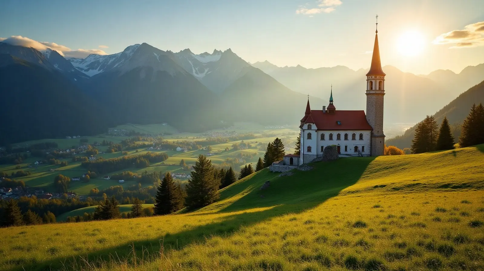
 Lech, Vorarlberg · Austria · ski area
Lech/Zürs ski resort · slopes, lifts & elevation
Lech/Zürs is a ski area in Lech, Vorarlberg, Austria with 120 km of mapped downhill runs and 32 lifts, between 1,430 m and 2,435 m above sea level.
- Downhill runs
- 120 km
- Lifts
- 32
- Top elevation
- 2,435 m
- Vertical drop
- 1,005 m
- Cross-country
- 18 km
- Nearest airport
- ACH · 53 km
Slopes by difficulty
180 runs mapped in OpenStreetMap. Colours follow the European piste convention.
Ski lifts
- 14 Chairlifts
- 4 Gondolas
- 4 Magic carpets
- 3 Button lifts
- 3 Cable cars
- 2 T-bars
- 1 Rope tows
- 1 Combined lifts
Lech/Zürs is a ski area in Lech, Vorarlberg, Austria. Its 180 mapped downhill runs add up to 120 km, which ranks it #10 of 324 ski areas in Austria and gives it 1.7% of all the country's slopes. The average run is about 664 m long.
Slopes at Lech/Zürs
About 41% of the slopes are beginner or easy runs, 45% intermediate and 14% advanced or expert, which makes Lech/Zürs a balanced resort for intermediate skiers.
Lifts and elevation
The resort has 32 lifts: 14 chairlifts, 4 gondolas, 4 magic carpets, 3 button lifts, 3 cable cars, 2 t-bars, 1 rope tow, 1 combined lift. Most of them are chairlifts or gondolas, so you ride seated. Skiing runs from 1,430 m up to 2,435 m, a vertical drop of 1,005 m — the kind of long descents found in big Alpine-style resorts. The high top station usually means reliable snow well into spring. Cross-country skiers get 18.2 km of nordic trails.
Getting to Lech/Zürs
The nearest airport is Sankt Gallen Altenrhein Airport (ACH), about 53 km away in a straight line — roughly 1 h 9 min by car; Bodensee Airport Friedrichshafen (FDH) is 70 km away. Nearby ski areas include Ski Arlberg (272.1 km), Warth-Schröcken (51.7 km), Sonnenkopf (30.6 km) and St. Anton/St. Christoph/Stuben (99.0 km), which together add 460 km of slopes for a multi-resort trip.
Nearest airports to Lech/Zürs
- 1 ACH53 kmstraight line
- 2Bodensee Airport FriedrichshafenFDH70 kmstraight line
 Friedrichshafen, Germany
Airports in GermanyTransfers & Meet & Greet →
- 3 FMM89 kmstraight line
- 4 INN92 kmstraight line
 St. Gallen, Switzerland
Nearby
Ski resorts near Lech/Zürs
- 4 kmSki Arlberg272 km of slopes · 92 lifts · up to 2,642 m
- 7 kmWarth-Schröcken52 km of slopes · 14 lifts · up to 2,050 m
- 10 kmSonnenkopf31 km of slopes · 12 lifts · up to 2,287 m
- 11 kmSt. Anton/St. Christoph/Stuben99 km of slopes · 40 lifts · up to 2,642 m
- 14 kmKristberg-Silbertal4.4 km of slopes · 3 lifts · up to 1,595 m
- 15 kmTallifte1.9 km of slopes · 1 lift · up to 1,252 m
- 16 kmSonntag Stein6.4 km of slopes · 3 lifts · up to 1,752 m
- 16 kmSki lift Schwärzenbachup to 1,266 m
- 16 kmSkigebiet Heuberg Arena/Walmendingerhorn30 km of slopes · 15 lifts · up to 1,936 m
- 16 kmSki Arlberg2.8 km of slopes · up to 1,851 m
- 17 kmSkigebiet Diedamskopf36 km of slopes · 10 lifts · up to 2,056 m
- 17 kmSkigebiet IfenGermany21 km of slopes · 4 lifts · up to 2,019 m
Frequently asked questions
How many kilometres of slopes does Lech/Zürs have?
How high is Lech/Zürs?
What is the nearest airport to Lech/Zürs?
How many ski lifts does Lech/Zürs have?
Data: OpenSkiMap — © OpenStreetMap contributors & Skimap.org (ODbL 1.0). Run lengths are measured along mapped pistes; resorts may publish different figures.