
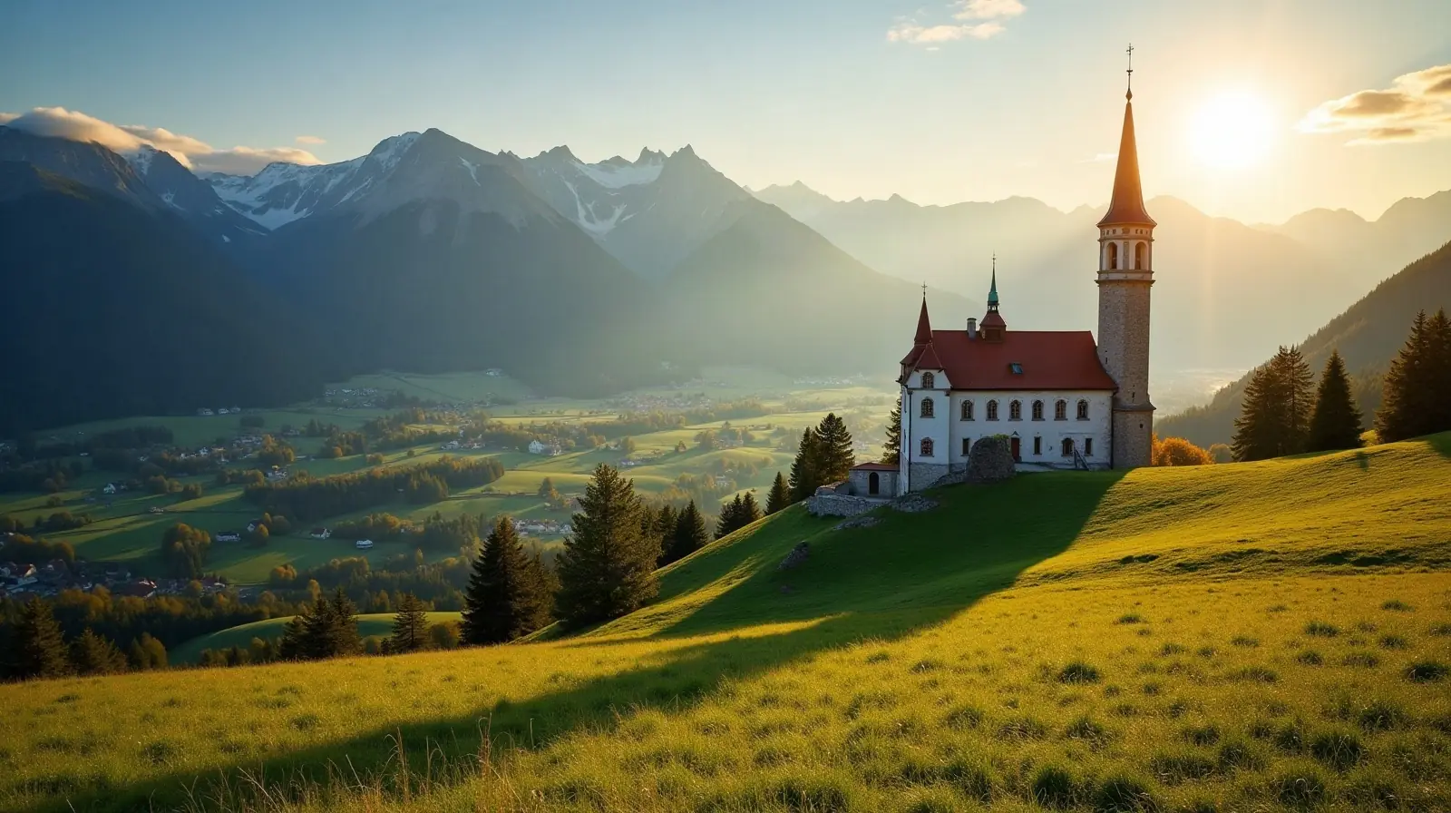
 Tyrol · Austria · ski area
Mühlberg Scharnitz ski resort · slopes, lifts & elevation
Mühlberg Scharnitz is a ski area in Tyrol, Austria.
- Downhill runs
- —
- Lifts
- —
- Top elevation
- —
- Vertical drop
- —
- Nearest airport
- INN · 15 km
Mühlberg Scharnitz is a ski area in Tyrol, Austria.
Getting to Mühlberg Scharnitz
The nearest airport is Innsbruck Airport (INN), about 15 km away in a straight line — roughly 19 minutes by car; Memmingen Allgau Airport (FMM) is 102 km away. Nearby ski areas include Seefeld - Rosshütte (13.1 km), Mahdlift Neuleutasch (0.4 km), Katzenkopf Leutasch (0.9 km) and Seefeld / Birkenlift & Geigenbühellift (2.6 km), which together add 25 km of slopes for a multi-resort trip.
Nearest airports to Mühlberg Scharnitz
- 1 INN15 kmstraight line
- 2 FMM102 kmstraight line
- 3 BZO102 kmstraight line
- 4 MUC116 kmstraight line
 Bolzano (BZ), Italy
Nearby
Ski resorts near Mühlberg Scharnitz
- 4 kmMittenwald Riedboden
 Germanyup to 951 m
- 6 kmSeefeld - Rosshütte13 km of slopes · 24 lifts · up to 2,061 m
- 6 kmMahdlift Neuleutasch0.4 km of slopes · 1 lift · up to 1,276 m
- 7 kmKatzenkopf Leutasch0.9 km of slopes · 1 lift · up to 1,359 m
- 7 kmKarwendelbahn (Dammkar-Mittenwald)Germany1 lift · up to 2,245 m
- 7 kmSeefeld / Birkenlift & Geigenbühellift2.6 km of slopes · 9 lifts · up to 1,219 m
- 8 kmLanglauf Region Seefeldup to 1,389 m
- 8 kmMittenwald - KranzbergGermany6.2 km of slopes · 7 lifts · up to 1,341 m
- 9 kmSeefeld - Gschwandtkopf8.5 km of slopes · 13 lifts · up to 1,496 m
- 11 kmHinterfeldlift Mösern0.2 km of slopes · 1 lift · up to 1,266 m
- 11 kmSchloss ElmauGermanyup to 1,189 m
- 13 kmKaltenbrunn / KlaisGermanySmall ski area
Frequently asked questions
What is the nearest airport to Mühlberg Scharnitz?
Innsbruck Airport (INN), about 15 km away in a straight line; Memmingen Allgau Airport (FMM) is 102 km away.
Data: OpenSkiMap — © OpenStreetMap contributors & Skimap.org (ODbL 1.0). Run lengths are measured along mapped pistes; resorts may publish different figures.