
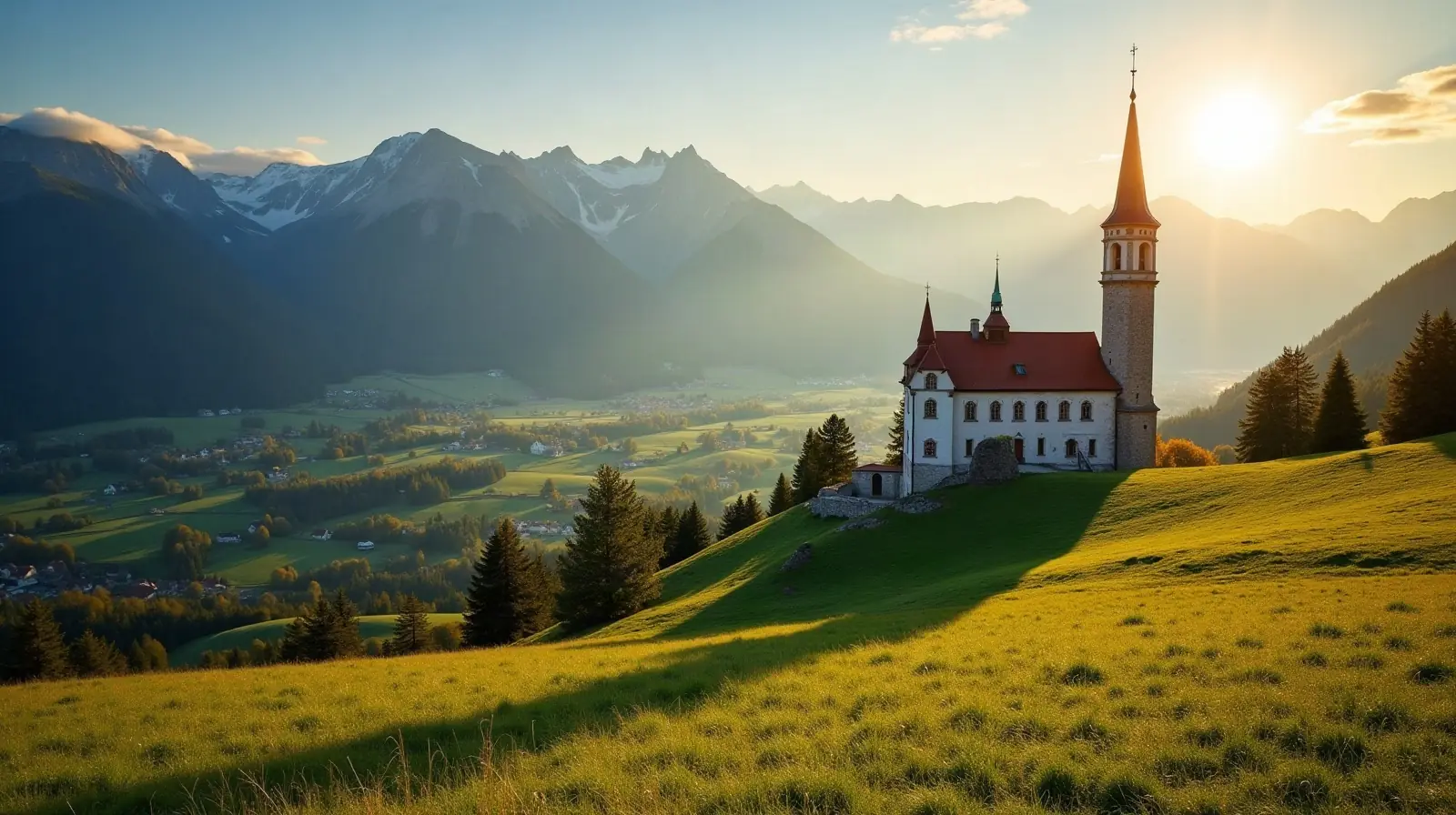
 Igls, Tyrol · Austria · ski area
Patscherkofel Ski ski resort · slopes, lifts & elevation
Patscherkofel Ski is a ski area in Igls, Tyrol, Austria with 12 km of mapped downhill runs and 6 lifts, between 889 m and 1,960 m above sea level.
- Downhill runs
- 12 km
- Lifts
- 6
- Top elevation
- 1,960 m
- Vertical drop
- 1,071 m
- Nearest airport
- INN · 9.6 km
Slopes by difficulty
29 runs mapped in OpenStreetMap. Colours follow the European piste convention.
Ski lifts
- 2 T-bars
- 1 Gondolas
- 1 Button lifts
- 1 Rope tows
- 1 Magic carpets
Patscherkofel Ski is a ski area in Igls, Tyrol, Austria. Its 29 mapped downhill runs add up to 12 km, which ranks it #124 of 324 ski areas in Austria and gives it 0.2% of all the country's slopes. The average run is about 424 m long.
Slopes at Patscherkofel Ski
About 24% of the slopes are beginner or easy runs, 54% intermediate and 20% advanced or expert, which makes Patscherkofel Ski a balanced resort for intermediate skiers.
Lifts and elevation
The resort has 6 lifts: 2 t-bars, 1 gondola, 1 button lift, 1 rope tow, 1 magic carpet. Most uphill transport is by surface lifts (T-bars, button lifts and tows). Skiing runs from 889 m up to 1,960 m, a vertical drop of 1,071 m — the kind of long descents found in big Alpine-style resorts.
Getting to Patscherkofel Ski
The nearest airport is Innsbruck Airport (INN), about 10 km away in a straight line — roughly 13 minutes by car; Bolzano Airport (BZO) is 84 km away. Nearby ski areas include Bergisel, Glungezer (13.4 km), Serlesbahnen (5.9 km) and Nordkette (7.7 km), which together add 66 km of slopes for a multi-resort trip.
Nearest airports to Patscherkofel Ski
- 1 INN9.6 kmstraight line
- 2 BZO84 kmstraight line
- 3 FMM125 kmstraight line
- 4 MUC130 kmstraight line
 Bolzano (BZ), Italy
 Memmingen, Germany
Nearby
Ski resorts near Patscherkofel Ski
- 6 kmBergiselSmall ski area
- 7 kmGlungezer13 km of slopes · 6 lifts · up to 2,297 m
- 8 kmSerlesbahnen5.9 km of slopes · 4 lifts · up to 1,680 m
- 10 kmNordkette7.7 km of slopes · 18 lifts · up to 2,269 m
- 11 kmAxamer Lizum - Muttereralm38 km of slopes · 18 lifts · up to 2,333 m
- 11 kmGrünberglift Navis1.3 km of slopes · 1 lift · up to 1,576 m
- 13 kmSchlick 200021 km of slopes · 8 lifts · up to 2,235 m
- 13 kmVögelsberg - Wattens0.6 km of slopes · 1 lift · up to 969 m
- 13 kmSonnenlift Axams0.9 km of slopes · 1 lift · up to 993 m
- 15 kmWildstättlift Wattenberg0.4 km of slopes · 1 lift · up to 1,317 m
- 15 kmBergeralm17 km of slopes · 7 lifts · up to 2,174 m
- 15 km11er Neustift/Neder9.4 km of slopes · 5 lifts · up to 1,808 m
Frequently asked questions
How many kilometres of slopes does Patscherkofel Ski have?
How high is Patscherkofel Ski?
What is the nearest airport to Patscherkofel Ski?
How many ski lifts does Patscherkofel Ski have?
Data: OpenSkiMap — © OpenStreetMap contributors & Skimap.org (ODbL 1.0). Run lengths are measured along mapped pistes; resorts may publish different figures.