
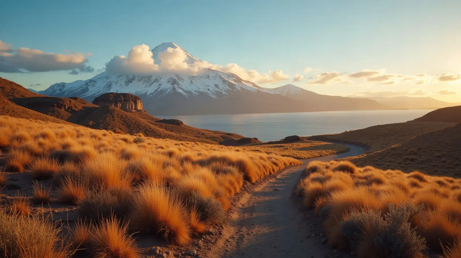
 Del Bio-Bio · Chile · ski area
Antuco ski resort · slopes, lifts & elevation
Antuco is a ski area in Del Bio-Bio, Chile with 5.9 km of mapped downhill runs and 3 lifts, between 1,393 m and 1,898 m above sea level.
- Downhill runs
- 5.9 km
- Lifts
- 3
- Top elevation
- 1,898 m
- Vertical drop
- 505 m
- Nearest airport
- CCP · 164 km
Slopes by difficulty
9 runs mapped in OpenStreetMap. Colours follow the European piste convention.
Ski lifts
- 2 Button lifts
- 1 Rope tows
Antuco is a ski area in Del Bio-Bio, Chile. Its 9 mapped downhill runs add up to 5.9 km, which ranks it #15 of 28 ski areas in Chile and gives it 1.8% of all the country's slopes. The average run is about 658 m long.
Slopes at Antuco
About 22% of the slopes are beginner or easy runs, 53% intermediate and 25% advanced or expert, which makes Antuco a balanced resort for intermediate skiers.
Lifts and elevation
The resort has 3 lifts: 2 button lifts, 1 rope tow. Most uphill transport is by surface lifts (T-bars, button lifts and tows). Skiing runs from 1,393 m up to 1,898 m, a vertical drop of 505 m.
Getting to Antuco
The nearest airport is Carriel Sur International Airport (CCP), about 164 km away in a straight line — roughly 3 h 34 min by car; La Araucanía International Airport (ZCO) is 204 km away. Nearby ski areas include Valle Hermoso (25.8 km) and Nevados de Chillán (Formerly Termas de Chillán), which together add 26 km of slopes for a multi-resort trip.
Nearest airports to Antuco
- 1 CCP164 kmstraight line
- 2 ZCO204 kmstraight line
- 3 ZAL292 kmstraight line
- 4 CPC300 kmstraight line
Nearby
Ski resorts near Antuco
- 53 kmValle Hermoso26 km of slopes · 11 lifts · up to 2,401 m
- 53 kmNevados de Chillán (Formerly Termas de Chillán)Small ski area
- 58 kmCaviahue
 Argentina17 km of slopes · 11 lifts · up to 2,110 m
- 61 kmCaviahueArgentinaSmall ski area
- 69 kmParque Recreativo de Nieve El LlanoArgentinaSmall ski area
- 90 kmParque de Nieve Manzano AmargoArgentinaSmall ski area
- 113 kmCorralco24 km of slopes · 8 lifts · up to 2,391 m
- 116 kmLos ArenalesSmall ski area
- 117 kmQuebrada Honda Ski & SnowSmall ski area
- 119 kmSki No LimitSmall ski area
Frequently asked questions
How many kilometres of slopes does Antuco have?
How high is Antuco?
What is the nearest airport to Antuco?
How many ski lifts does Antuco have?
Data: OpenSkiMap — © OpenStreetMap contributors & Skimap.org (ODbL 1.0). Run lengths are measured along mapped pistes; resorts may publish different figures.