
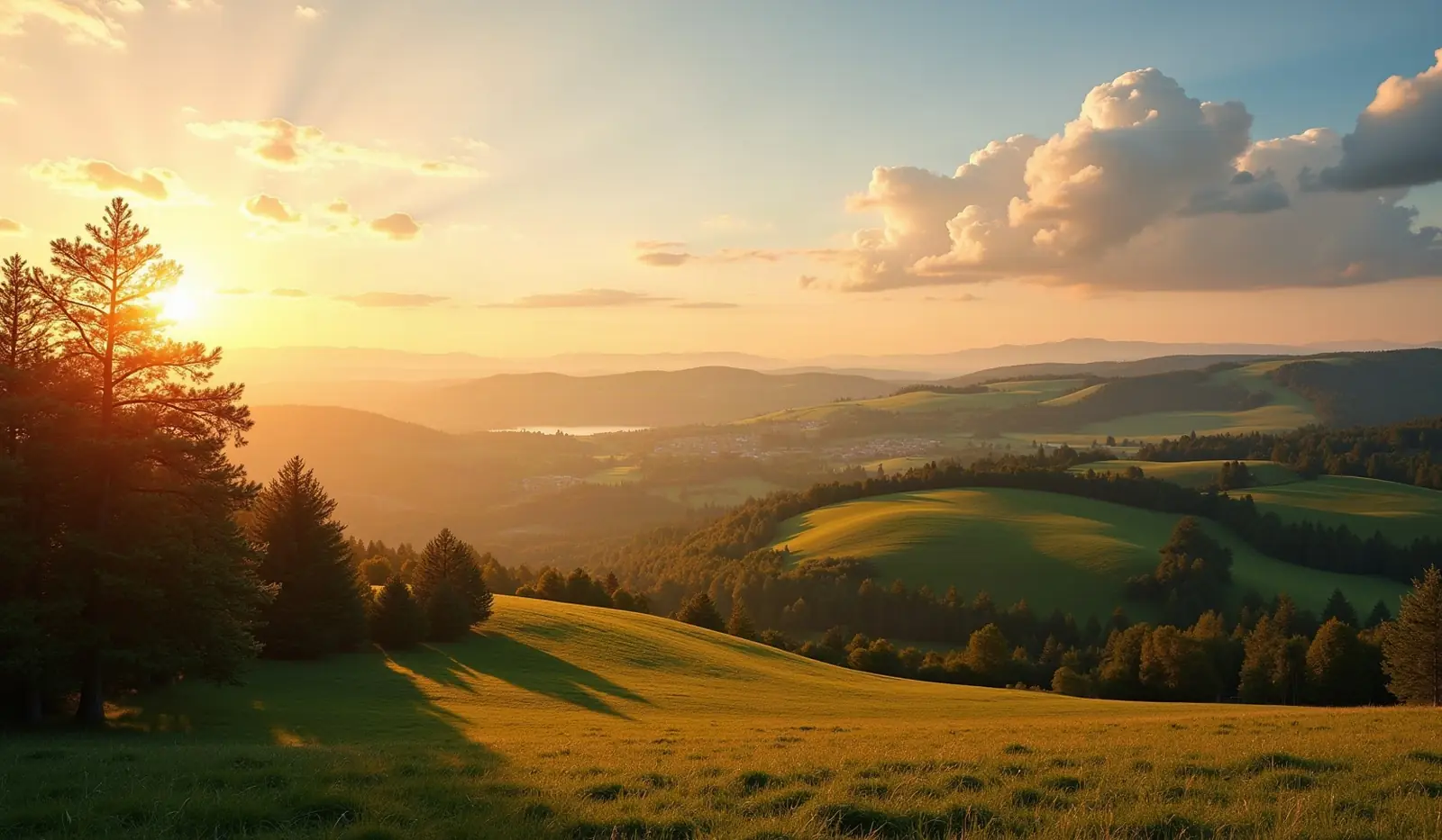
 Bystrzyca Kłodzka Obszar Wiejski, dolnoslaskie · Poland · ski area
Czarna Góra ski resort · slopes, lifts & elevation
Czarna Góra is a ski area in Bystrzyca Kłodzka Obszar Wiejski, dolnoslaskie, Poland with 9.7 km of mapped downhill runs and 13 lifts, between 788 m and 1,159 m above sea level.
- Downhill runs
- 9.7 km
- Lifts
- 13
- Top elevation
- 1,159 m
- Vertical drop
- 371 m
- Nearest airport
- PED · 82 km
Slopes by difficulty
20 runs mapped in OpenStreetMap. Colours follow the European piste convention.
Ski lifts
- 6 Button lifts
- 4 Magic carpets
- 3 Chairlifts
Czarna Góra is a ski area in Bystrzyca Kłodzka Obszar Wiejski, dolnoslaskie, Poland. Its 20 mapped downhill runs add up to 9.7 km, which ranks it #8 of 223 ski areas in Poland and gives it 2.8% of all the country's slopes. The average run is about 485 m long.
Slopes at Czarna Góra
About 37% of the slopes are beginner or easy runs, 58% intermediate and 5% advanced or expert, which makes Czarna Góra a balanced resort for intermediate skiers.
Lifts and elevation
The resort has 13 lifts: 6 button lifts, 4 magic carpets, 3 chairlifts. Most uphill transport is by surface lifts (T-bars, button lifts and tows). Skiing runs from 788 m up to 1,159 m, a vertical drop of 371 m.
Getting to Czarna Góra
The nearest airport is Pardubice Airport (PED), about 82 km away in a straight line — roughly 1 h 46 min by car; Copernicus Wrocław Airport (WRO) is 94 km away. Nearby ski areas include Kamienica/Bolesławów (1.3 km), Nowa Morawa (0.4 km), Lądek-Zdrój and Nowy Gierałtów (0.4 km), which together add 3 km of slopes for a multi-resort trip.
Nearest airports to Czarna Góra
- 1 PED82 kmstraight line
- 2 WRO94 kmstraight line
- 3 OSR112 kmstraight line
- 4 BRQ124 kmstraight line
Nearby
Ski resorts near Czarna Góra
- 5 kmKamienica/Bolesławów1.3 km of slopes · 4 lifts · up to 690 m
- 6 kmNowa Morawa0.4 km of slopes · up to 714 m
- 11 kmSki Králičák
 Czechia8.5 km of slopes · 6 lifts · up to 863 m
- 11 kmLądek-Zdrój5 lifts · up to 592 m
- 11 kmNowy Gierałtów0.4 km of slopes · 1 lift · up to 718 m
- 11 kmSkiareál KunčiceCzechia3.8 km of slopes · 3 lifts · up to 749 m
- 13 kmDolní Morava sport & relax resortCzechia9.0 km of slopes · 10 lifts · up to 1,231 m
- 13 kmArt-Ski0.3 km of slopes · 2 lifts · up to 770 m
- 14 kmSkiareál Větrný vrchCzechia2.6 km of slopes · 2 lifts · up to 806 m
- 17 kmSki PetříkovCzechia1.1 km of slopes · 2 lifts · up to 942 m
- 17 kmSki Ostružná - ŘetězárnaCzechia0.9 km of slopes · 1 lift · up to 924 m
- 17 kmKaste PetříkovCzechia0.7 km of slopes · 1 lift · up to 948 m
Frequently asked questions
How many kilometres of slopes does Czarna Góra have?
How high is Czarna Góra?
What is the nearest airport to Czarna Góra?
How many ski lifts does Czarna Góra have?
Data: OpenSkiMap — © OpenStreetMap contributors & Skimap.org (ODbL 1.0). Run lengths are measured along mapped pistes; resorts may publish different figures.