
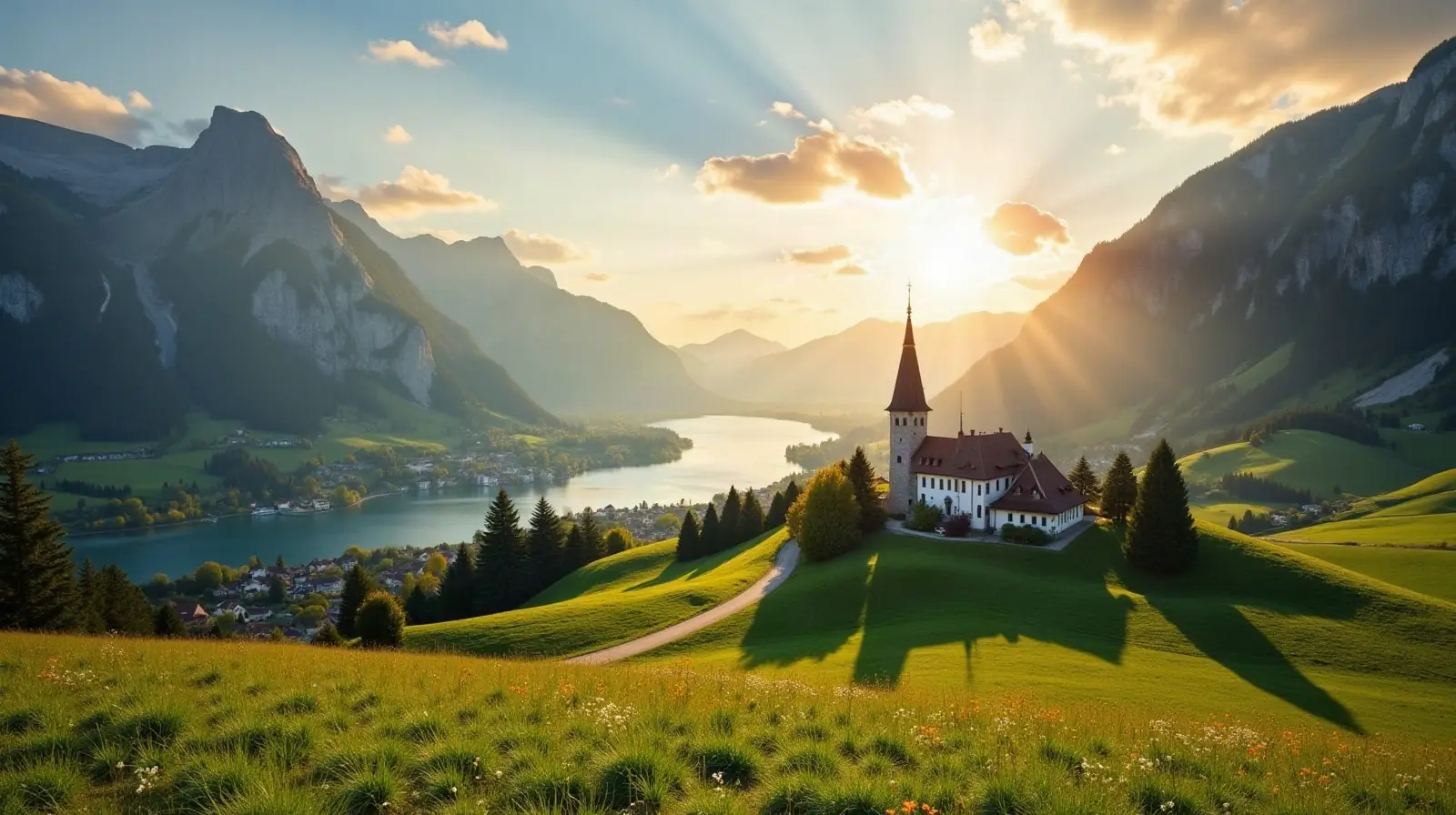
 Maloja District, Graubunden · Switzerland · ski area
Maloja ski resort · slopes, lifts & elevation
Maloja is a ski area in Maloja District, Graubunden, Switzerland with 3.1 km of mapped downhill runs and 3 lifts, between 1,820 m and 2,133 m above sea level.
- Downhill runs
- 3.1 km
- Lifts
- 3
- Top elevation
- 2,133 m
- Vertical drop
- 313 m
- Nearest airport
- LUG · 75 km
Slopes by difficulty
4 runs mapped in OpenStreetMap. Colours follow the European piste convention.
Ski lifts
- 2 Rope tows
- 1 Button lifts
Maloja is a ski area in Maloja District, Graubunden, Switzerland. Its 4 mapped downhill runs add up to 3.1 km, which ranks it #178 of 348 ski areas in Switzerland and gives it 0.1% of all the country's slopes. The average run is about 785 m long.
Slopes at Maloja
About 0% of the slopes are beginner or easy runs, 61% intermediate and 39% advanced or expert, which makes Maloja best suited to confident and advanced skiers.
Lifts and elevation
The resort has 3 lifts: 2 rope tows, 1 button lift. Most uphill transport is by surface lifts (T-bars, button lifts and tows). Skiing runs from 1,820 m up to 2,133 m, a vertical drop of 313 m. The high top station usually means reliable snow well into spring.
Getting to Maloja
The nearest airport is Lugano Airport (LUG), about 75 km away in a straight line — roughly 1 h 38 min by car; Il Caravaggio International Airport (BGY) is 81 km away. Nearby ski areas include Casaccia (0.6 km), Bivio (14.8 km), Corvatsch-Furtschellas (39.6 km) and Avers (6.5 km), which together add 129 km of slopes for a multi-resort trip.
Nearest airports to Maloja
- 1 LUG75 kmstraight line
- 2Il Caravaggio International AirportBGY81 kmstraight line
 Orio al Serio (BG), Italy
Airports in ItalyTransfers & Meet & Greet →
- 3 LIN111 kmstraight line
- 4 MXP114 kmstraight line
Nearby
Ski resorts near Maloja
- 3 kmCasaccia0.6 km of slopes · 1 lift · up to 1,598 m
- 9 kmBivio15 km of slopes · 4 lifts · up to 2,541 m
- 9 kmCorvatsch-Furtschellas40 km of slopes · 15 lifts · up to 3,296 m
- 12 kmAvers6.5 km of slopes · 2 lifts · up to 2,515 m
- 13 kmCentro Sportivo Isola ValmalencoItalyup to 1,645 m
- 15 kmCorviglia68 km of slopes · 49 lifts · up to 3,020 m
- 17 kmValmalenco BerninaItaly23 km of slopes · 10 lifts · up to 2,350 m
- 19 kmPontresina0.4 km of slopes · 2 lifts · up to 1,925 m
- 20 kmLanzada - PradascItalyup to 1,113 m
- 21 kmDiavolezza-Lagalb19 km of slopes · 7 lifts · up to 3,003 m
- 23 kmSavogninSmall ski area
- 23 kmSavognin44 km of slopes · 8 lifts · up to 2,699 m
Frequently asked questions
How many kilometres of slopes does Maloja have?
How high is Maloja?
What is the nearest airport to Maloja?
How many ski lifts does Maloja have?
Data: OpenSkiMap — © OpenStreetMap contributors & Skimap.org (ODbL 1.0). Run lengths are measured along mapped pistes; resorts may publish different figures.