
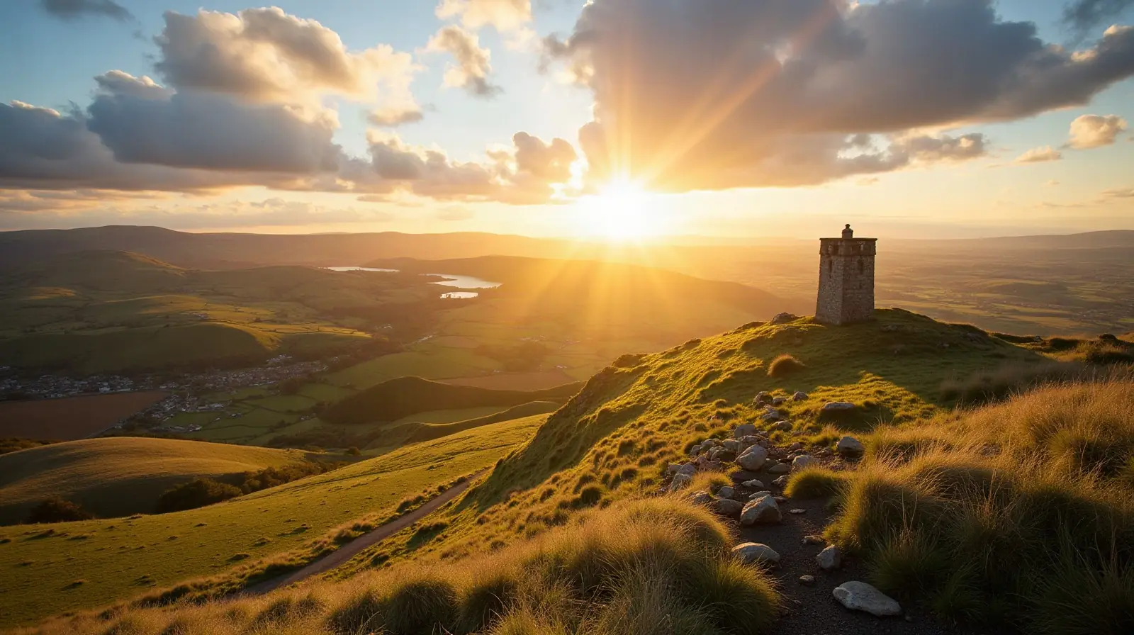
 Patterdale, Westmorland and Furness · United Kingdom · ski area
Raise ski resort · slopes, lifts & elevation
Raise is a ski area in Patterdale, Westmorland and Furness, United Kingdom with 1 lift, between 730 m and 839 m above sea level.
- Downhill runs
- —
- Lifts
- 1
- Top elevation
- 839 m
- Vertical drop
- 109 m
- Nearest airport
- NCL · 101 km
Ski lifts
- 1 Button lifts
Raise is a ski area in Patterdale, Westmorland and Furness, the United Kingdom.
Lifts and elevation
The resort has 1 lift: 1 button lift. Most uphill transport is by surface lifts (T-bars, button lifts and tows). Skiing runs from 730 m up to 839 m, a vertical drop of 109 m — typical of a local ski hill.
Getting to Raise
The nearest airport is Newcastle International Airport (NCL), about 101 km away in a straight line — roughly 2 h 11 min by car; Teesside International Airport (MME) is 102 km away. Nearby ski areas include Yad Moss, Weardale Ski Club, Allenheads and Lowther Hills (1.8 km), which together add 2 km of slopes for a multi-resort trip.
Nearest airports to Raise
- 1Newcastle International AirportNCL101 kmstraight lineNewcastle upon Tyne, Tyne and Wear, United Kingdom
Airports in United KingdomTransfers & Meet & Greet →
- 2Teesside International AirportMME102 kmstraight lineDarlington, Durham, United Kingdom
Airports in United KingdomTransfers & Meet & Greet →
- 3Leeds Bradford AirportLBA116 kmstraight lineLeeds, West Yorkshire, United Kingdom
Airports in United KingdomTransfers & Meet & Greet →
- 4Isle of Man AirportIOM117 kmstraight line
 Castletown, Rushen, Isle of Man
Airports in Isle of ManTransfers & Meet & Greet →
Frequently asked questions
How high is Raise?
What is the nearest airport to Raise?
How many ski lifts does Raise have?
Data: OpenSkiMap — © OpenStreetMap contributors & Skimap.org (ODbL 1.0). Run lengths are measured along mapped pistes; resorts may publish different figures.