
 Ecuador · national park
Machalilla National Park
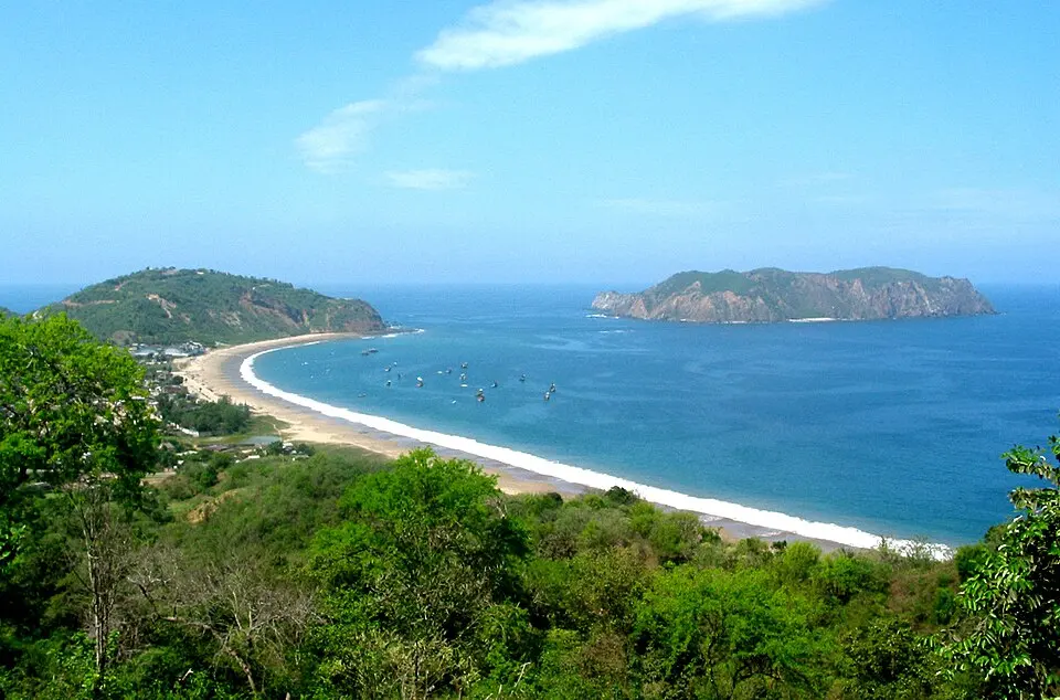
Machalilla National Park is a national park in Ecuador, established in 1979, covering 751 km² (290 sq mi). It is the #9 largest of Ecuador's 14 national parks.
- Area
- 751 km²
- Established
- 1979
- Nearest airport
- MEC · 71 km
Nearest airports to Machalilla National Park
- 1 MEC71 kmstraight line
- 2 SNC74 kmstraight line
- 3José Joaquín de Olmedo International AirportGYE124 kmstraight lineGuayaquil, Ecuador
Airports in EcuadorTransfers & Meet & Greet →
More about Machalilla National Park
Machalilla National Park is one of 14 national parks in Ecuador. It covers 751 km² (75,059 ha) — about the size of New York City, making it the #9 largest national park in Ecuador (2.2% of the country's national park area).
History and protection
The park was established in 1979, 47 years ago — the first national parks in Ecuador date back to 1959.
Visiting Machalilla National Park
The closest airport is Eloy Alfaro International Airport (MEC), about 71 km away — around 1 h 32 min by car; alternatively General Ulpiano Paez International Airport (SNC, 74 km). Other national parks within reach include El Cajas National Park (288 km²), Sangay National Park (2,719 km²), Cotopaxi National Park (334 km²) and Rio Negro Sopladora National Park (659 km²) — easy to combine on one trip.
Frequently asked questions
How big is Machalilla National Park?
When was Machalilla National Park established?
What is the nearest airport to Machalilla National Park?
Data: Wikidata (CC0), English Wikipedia and Wikimedia Commons.