
Europe · neighbouring countries
 Neighboring Countries of Iceland
Iceland has no land borders with any other country — it is surrounded by sea.
- Iceland
- Neighbouring countries
Geography of Iceland
Location
Northern Europe, island between the Greenland Sea and the North Atlantic Ocean, northwest of the United Kingdom
Area
103,000 km² — slightly smaller than Pennsylvania; about the same size as Kentucky
Terrain
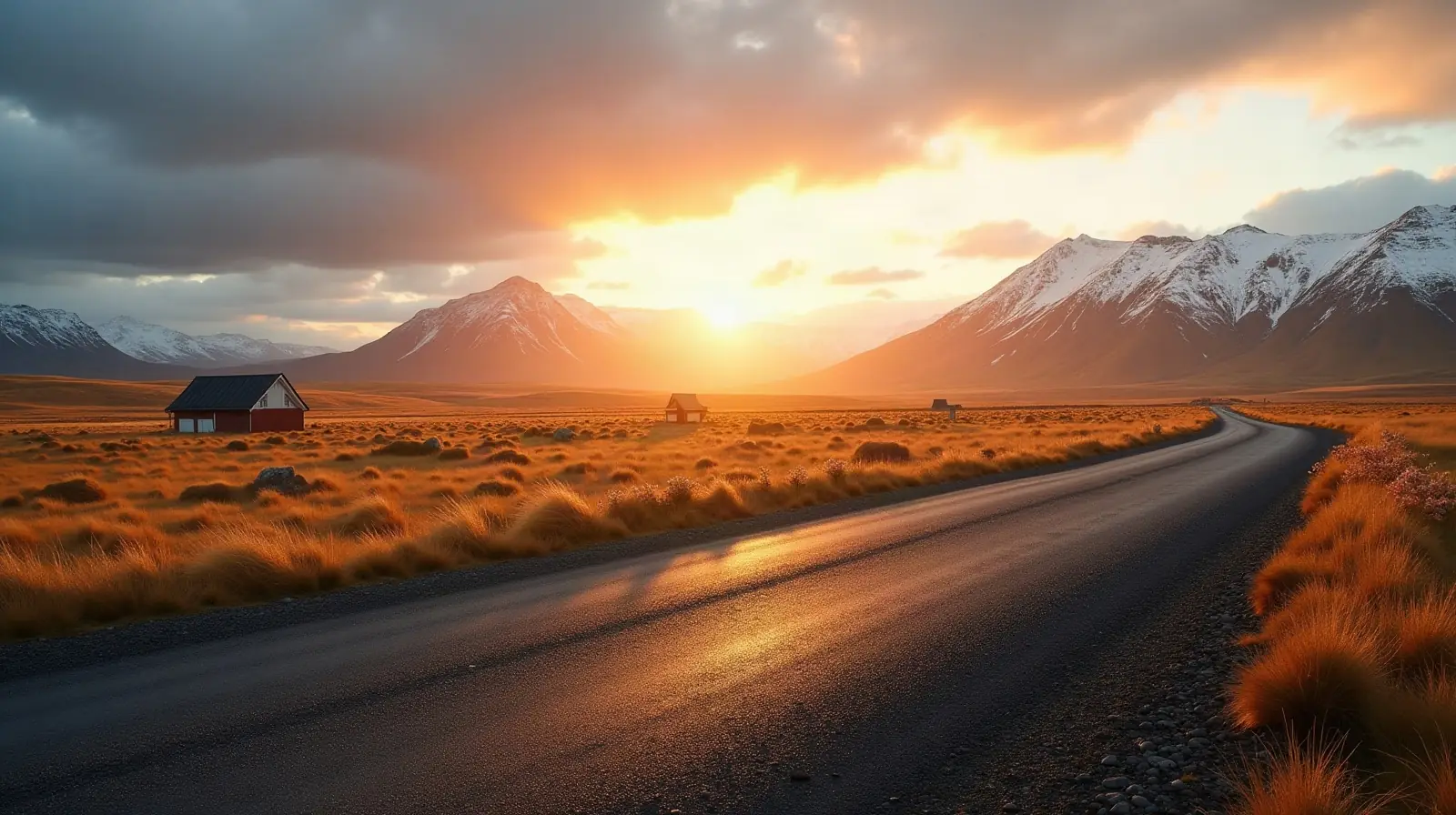
Mostly plateau interspersed with mountain peaks, icefields; coast deeply indented by bays and fiords
Climate
Temperate; moderated by North Atlantic Current; mild, windy winters; damp, cool summers
Highest and lowest points
Highest: Hvannadalshnukur (at Vatnajokull Glacier) 2,110 m. Lowest: Atlantic Ocean 0 m. Mean elevation: 557 m.
Natural resources
Fish, hydropower, geothermal power, diatomite
Natural hazards
Earthquakes and volcanic activity volcanism: Iceland is situated on top of a hotspot and experiences severe volcanic activity; Eyjafjallajokull (1,666 m) erupted in 2010, sending ash high into the atmosphere and seriously disrupting European air traffic; scientists continue to monitor nearby Katla (1,512 m), which has a high probability of eruption; Grimsvoetn and Hekla are Iceland's most active volcanoes; other historically active volcanoes include Askja, Bardarbunga, Brennisteinsfjoll, Esjufjoll, Hengill, Krafla, Krisuvik, Kverkfjoll, Oraefajokull, Reykjanes, Torfajokull, and Vestmannaeyjar
Good to know
Strategic location between Greenland and Europe; westernmost European country; Reykjavik is the northernmost national capital in the world; more land covered by glaciers than in all of continental Europe
 Neighboring countries of Cyprus
 Neighboring countries of Malta
Frequently asked questions about the borders of Iceland
How many countries border Iceland?
Is Iceland landlocked?
What is the highest point of Iceland?
Borders and geography: CIA World Factbook (public domain).