
Europe · neighbouring countries
 Neighboring Countries of Netherlands
Netherlands shares land borders with 2 countries: Germany (575 km) and Belgium (478 km).
- Netherlands
- Neighbouring countries
- Neighbours of neighbours
Countries bordering Netherlands
| Neighbour | Border length | Capital | Visa for Netherlands citizens |
|---|---|---|---|
 Germany |
Berlin | Freedom of movement | |
 Belgium |
Brussels | Freedom of movement |
Germany accounts for 55% of Netherlands's 1,053 km of land borders. Lengths: CIA World Factbook (public domain).
Geography of Netherlands
Location
Western Europe, bordering the North Sea, between Belgium and Germany
Area
41,543 km² — slightly less than twice the size of New Jersey
Terrain
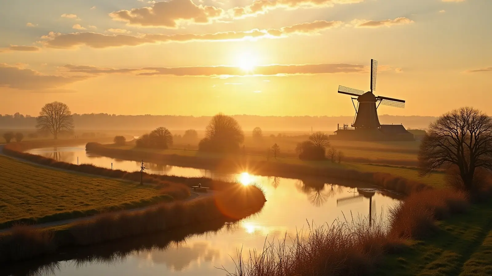
Mostly coastal lowland and reclaimed land (polders); some hills in southeast
Climate
Temperate; marine; cool summers and mild winters
Highest and lowest points
Highest: Mount Scenery (on the island of Saba in the Caribbean, now considered an integral part of the Netherlands following the dissolution of the Netherlands Antilles) 862 m. Lowest: Zuidplaspolder -7 m. Mean elevation: 30 m.
Natural resources
Natural gas, petroleum, peat, limestone, salt, sand and gravel, arable land
Natural hazards
Flooding volcanism: Mount Scenery (887 m), located on the island of Saba in the Caribbean, last erupted in 1640; Round Hill (601 m), a dormant volcano also known as "The Quill," is located on the island of St. Eustatius in the Caribbean; these islands are at the northern end of the volcanic island arc of the Lesser Antilles that extends south to Grenada
Good to know
Located at mouths of three major European rivers (Rhine (Rijn), Meuse (Maas), and Scheldt (Schelde)); about a quarter of the country lies below sea level and only about half of the land exceeds one meter above sea level
Neighbours of Netherlands's neighbours
Countries one border further away — reachable overland through a neighbouring country.
 Austria
 Czechia
 France
 Luxembourg
 Poland
 Switzerland
Also with 2 neighbours in Europe
 Neighboring countries of Andorra
 Neighboring countries of Denmark
 Neighboring countries of Estonia
 Neighboring countries of Liechtenstein
 Neighboring countries of Moldova
 Neighboring countries of Sweden
- Countries with the most neighbours
- Longest land borders in the world
- Visa-free countries for Netherlands passport holders
- Netherlands visa requirements
Frequently asked questions about the borders of Netherlands
How many countries border Netherlands?
Which is the longest border of Netherlands?
Is Netherlands landlocked?
How long are the land borders of Netherlands?
Do Netherlands citizens need a visa for neighbouring countries?
What is the highest point of Netherlands?
Borders and geography: CIA World Factbook (public domain). Visa rules: TravelRequirements.info — Entry Requirements Dataset, AXG Sp. z o.o. (CC BY 4.0).