
Americas · neighbouring countries
 Neighboring Countries of Bahamas
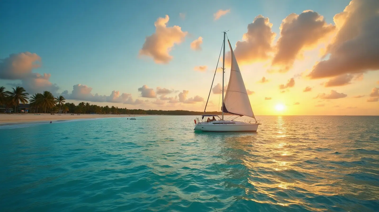
Bahamas has no land borders with any other country — it is surrounded by sea.
- Bahamas
- Neighbouring countries
Geography of Bahamas
Location
Chain of islands in the North Atlantic Ocean, southeast of Florida, northeast of Cuba; note - although The Bahamas does not border the Caribbean Sea, geopolitically it is often designated as a Caribbean nation
Area
13,880 km² — slightly smaller than Connecticut
Terrain
Long, flat coral formations with some low rounded hills
Climate
Tropical marine; moderated by warm waters of Gulf Stream
Highest and lowest points
Highest: 1.3 km NE of Old Bight on Cat Island 64 m. Lowest: Atlantic Ocean 0 m.
Natural resources
Salt, aragonite, timber, arable land
Natural hazards
Hurricanes and other tropical storms cause extensive flood and wind damage
Good to know
Strategic location adjacent to US and Cuba; extensive island chain of which 30 are inhabited
Also with 0 neighbours in Americas
 Neighboring countries of Antigua and Barbuda
 Neighboring countries of Barbados
 Neighboring countries of Cuba
 Neighboring countries of Dominica
 Neighboring countries of Grenada
 Neighboring countries of Jamaica
 Neighboring countries of Saint Kitts and Nevis
 Neighboring countries of Saint Lucia
 Neighboring countries of Saint Vincent and the Grenadines
 Neighboring countries of Trinidad and Tobago
- Countries with the most neighbours
- Longest land borders in the world
- Visa-free countries for Bahamas passport holders
- Bahamas visa requirements
Frequently asked questions about the borders of Bahamas
How many countries border Bahamas?
Is Bahamas landlocked?
What is the highest point of Bahamas?
Borders and geography: CIA World Factbook (public domain).