
Americas · neighbouring countries
 Neighboring Countries of Saint Vincent and the Grenadines
Saint Vincent and the Grenadines has no land borders with any other country — it is surrounded by sea.
- Saint Vincent and the Grenadines
- Neighbouring countries
Geography of Saint Vincent and the Grenadines
Location
Caribbean, islands between the Caribbean Sea and North Atlantic Ocean, north of Trinidad and Tobago
Area
389 km² — twice the size of Washington, D.C.
Terrain
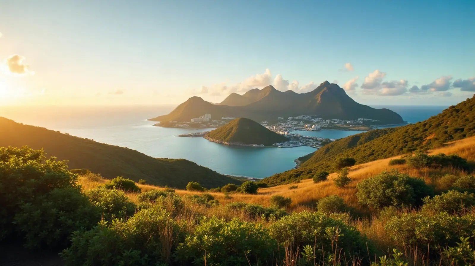
Volcanic, mountainous
Climate
Tropical; little seasonal temperature variation; rainy season (May to November)
Highest and lowest points
Highest: La Soufriere 1,234 m. Lowest: Caribbean Sea 0 m.
Natural resources
Hydropower, arable land
Natural hazards
Hurricanes; La Soufrière volcano on the island of Saint Vincent is a constant threat volcanism: La Soufrière (1,234 m) last erupted in 1979; the island of Saint Vincent is part of the volcanic-island arc of the Lesser Antilles that extends from Saba in the north to Grenada in the south
Good to know
The administration of the islands of the Grenadines group is divided between Saint Vincent and the Grenadines and Grenada; Saint Vincent and the Grenadines is composed of 32 islands and cays
Also with 0 neighbours in Americas
 Neighboring countries of Antigua and Barbuda
 Neighboring countries of Bahamas
 Neighboring countries of Barbados
 Neighboring countries of Cuba
 Neighboring countries of Dominica
 Neighboring countries of Grenada
 Neighboring countries of Jamaica
 Neighboring countries of Saint Kitts and Nevis
 Neighboring countries of Saint Lucia
 Neighboring countries of Trinidad and Tobago
- Countries with the most neighbours
- Longest land borders in the world
- Visa-free countries for Saint Vincent and the Grenadines passport holders
- Saint Vincent and the Grenadines visa requirements
Frequently asked questions about the borders of Saint Vincent and the Grenadines
How many countries border Saint Vincent and the Grenadines?
Is Saint Vincent and the Grenadines landlocked?
What is the highest point of Saint Vincent and the Grenadines?
Borders and geography: CIA World Factbook (public domain).