
Africa · neighbouring countries
 Neighboring Countries of Cape Verde
Cape Verde has no land borders with any other country — it is surrounded by sea.
- Cape Verde
- Neighbouring countries
Geography of Cape Verde
Location
Western Africa, group of islands in the North Atlantic Ocean, west of Senegal
Area
4,033 km² — slightly larger than Rhode Island
Terrain
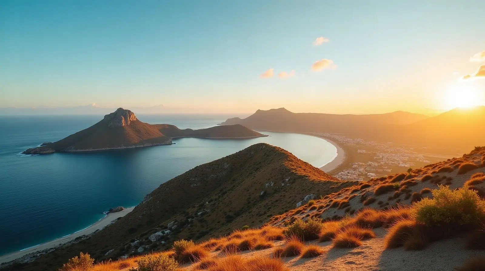
Steep, rugged, rocky, volcanic
Climate
Temperate; warm, dry summer; precipitation meager and erratic
Highest and lowest points
Highest: Mt. Fogo (a volcano on Fogo Island) 2,829 m. Lowest: Atlantic Ocean 0 m.
Natural resources
Salt, basalt rock, limestone, kaolin, fish, clay, gypsum
Natural hazards
Prolonged droughts; seasonal harmattan wind produces obscuring dust; volcanically and seismically active volcanism: Fogo (2,829 m), which last erupted in 1995, is Cabo Verde's only active volcano
Good to know
Strategic location 500 km from west coast of Africa near major north-south sea routes; one of four North Atlantic archipelagos that make up Macaronesia; the others are Azores (Portugal), Canary Islands (Spain), and Madeira (Portugal)
Also with 0 neighbours in Africa
 Neighboring countries of Comoros
 Neighboring countries of Madagascar
 Neighboring countries of Mauritius
 Neighboring countries of Sao Tome and Principe
 Neighboring countries of Seychelles
- Countries with the most neighbours
- Longest land borders in the world
- Visa-free countries for Cape Verde passport holders
- Cape Verde visa requirements
Frequently asked questions about the borders of Cape Verde
How many countries border Cape Verde?
Is Cape Verde landlocked?
What is the highest point of Cape Verde?
Borders and geography: CIA World Factbook (public domain).