
Africa · neighbouring countries
 Neighboring Countries of Mauritius
Mauritius has no land borders with any other country — it is surrounded by sea.
- Mauritius
- Neighbouring countries
Geography of Mauritius
Location
Southern Africa, island in the Indian Ocean, about 800 km (500 mi) east of Madagascar
Area
2,040 km² — almost 11 times the size of Washington, D.C.
Terrain
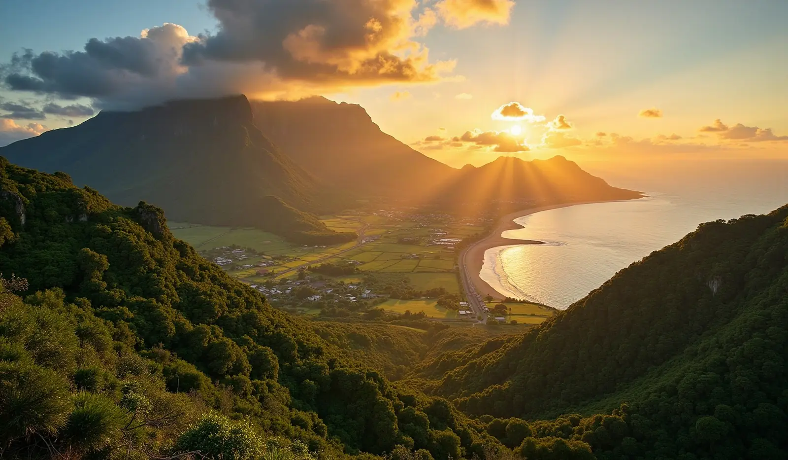
Small coastal plain rising to discontinuous mountains encircling central plateau
Climate
Tropical, modified by southeast trade winds; warm, dry winter (May to November); hot, wet, humid summer (November to May)
Highest and lowest points
Highest: Mont Piton 828 m. Lowest: Indian Ocean 0 m.
Natural resources
Arable land, fish
Natural hazards
Cyclones (November to April); almost completely surrounded by reefs that may pose maritime hazards
Good to know
The main island, from which the country derives its name, is of volcanic origin and is almost entirely surrounded by coral reefs; former home of the extinct dodo, a large flightless bird related to pigeons
Also with 0 neighbours in Africa
 Neighboring countries of Cape Verde
 Neighboring countries of Comoros
 Neighboring countries of Madagascar
 Neighboring countries of Sao Tome and Principe
 Neighboring countries of Seychelles
- Countries with the most neighbours
- Longest land borders in the world
- Visa-free countries for Mauritius passport holders
- Mauritius visa requirements
Frequently asked questions about the borders of Mauritius
How many countries border Mauritius?
Is Mauritius landlocked?
What is the highest point of Mauritius?
Borders and geography: CIA World Factbook (public domain).