
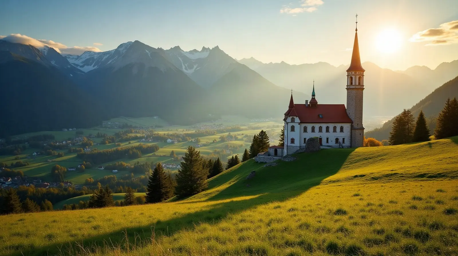
 Tyrol · Austria · ski area
Karwendelloipe Hinterriß ski resort · slopes, lifts & elevation
Karwendelloipe Hinterriß is a ski area in Tyrol, Austria, between 930 m and 1,226 m above sea level.
- Downhill runs
- —
- Lifts
- —
- Top elevation
- 1,226 m
- Vertical drop
- 296 m
- Cross-country
- 18 km
- Nearest airport
- INN · 25 km
Karwendelloipe Hinterriß is a ski area in Tyrol, Austria.
Lifts and elevation
Skiing runs from 930 m up to 1,226 m, a vertical drop of 296 m — typical of a local ski hill. Cross-country skiers get 17.7 km of nordic trails.
Getting to Karwendelloipe Hinterriß
The nearest airport is Innsbruck Airport (INN), about 25 km away in a straight line — roughly 33 minutes by car; Munich Airport (MUC) is 101 km away. Nearby ski areas include Christlum (15.5 km), Karwendel Bergbahn (8.8 km), Mühlberg Scharnitz and Nordkette (7.7 km), which together add 39 km of slopes for a multi-resort trip.
Nearest airports to Karwendelloipe Hinterriß
- 1 INN25 kmstraight line
- 2 MUC101 kmstraight line
- 3 FMM108 kmstraight line
- 4 BZO113 kmstraight line
 Bolzano (BZ), Italy
Nearby
Ski resorts near Karwendelloipe Hinterriß
- 14 kmKrün / Wallgau / Vorderriß / Fall
 Germanyup to 973 m
- 15 kmJachenauGermanyup to 773 m
- 15 kmKarwendelbahn (Dammkar-Mittenwald)Germany1 lift · up to 2,245 m
- 16 kmChristlum15 km of slopes · 9 lifts · up to 1,745 m
- 17 kmMittenwald RiedbodenGermanyup to 951 m
- 17 kmMittenwald - KranzbergGermany6.2 km of slopes · 7 lifts · up to 1,341 m
- 18 kmKarwendel Bergbahn8.8 km of slopes · 6 lifts · up to 1,490 m
- 18 kmHerzogstandbahn (Walchensee)Germany0.8 km of slopes · 2 lifts · up to 1,621 m
- 19 kmMühlberg ScharnitzSmall ski area
- 21 kmNordkette7.7 km of slopes · 18 lifts · up to 2,269 m
- 21 kmAchensee Loipenup to 1,257 m
- 21 kmSchloss ElmauGermanyup to 1,189 m
Frequently asked questions
How high is Karwendelloipe Hinterriß?
What is the nearest airport to Karwendelloipe Hinterriß?
Data: OpenSkiMap — © OpenStreetMap contributors & Skimap.org (ODbL 1.0). Run lengths are measured along mapped pistes; resorts may publish different figures.