
Asia · neighbouring countries
 Neighboring Countries of Sri Lanka
Sri Lanka has no land borders with any other country — it is surrounded by sea.
- Sri Lanka
- Neighbouring countries
Geography of Sri Lanka
Location
Southern Asia, island in the Indian Ocean, south of India
Area
65,610 km² — slightly larger than West Virginia
Terrain
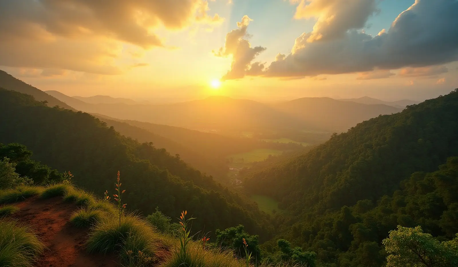
Mostly low, flat to rolling plain; mountains in south-central interior
Climate
Tropical monsoon; northeast monsoon (December to March); southwest monsoon (June to October)
Highest and lowest points
Highest: Pidurutalagala 2,524 m. Lowest: Indian Ocean 0 m. Mean elevation: 228 m.
Natural resources
Limestone, graphite, mineral sands, gems, phosphates, clay, hydropower, arable land
Natural hazards
Occasional cyclones and tornadoes
Good to know
Strategic location near major Indian Ocean sea lanes; Adam's Bridge is a chain of limestone shoals between the southeastern coast of India and the northwestern coast of Sri Lanka; geological evidence suggests that this 50-km (31-mi) bridge once connected India and Sri Lanka; ancient records seem to indicate that a foot passage was possible between the two land masses until the 15th century, when the land bridge broke up in a cyclone
Also with 0 neighbours in Asia
 Neighboring countries of Bahrain
 Neighboring countries of Hong Kong
 Neighboring countries of Japan
 Neighboring countries of Macau
 Neighboring countries of Maldives
 Neighboring countries of Philippines
 Neighboring countries of Singapore
 Neighboring countries of Taiwan
- Countries with the most neighbours
- Longest land borders in the world
- Visa-free countries for Sri Lanka passport holders
- Sri Lanka visa requirements
Frequently asked questions about the borders of Sri Lanka
How many countries border Sri Lanka?
Is Sri Lanka landlocked?
What is the highest point of Sri Lanka?
Borders and geography: CIA World Factbook (public domain).