
Americas · neighbouring countries
 Neighboring Countries of Guatemala
Guatemala shares land borders with 4 countries: Mexico (958 km), Belize (266 km), Honduras (244 km) and El Salvador (199 km).
- Guatemala
- Neighbouring countries
- Neighbours of neighbours
Countries bordering Guatemala
| Neighbour | Border length | Capital | Visa for Guatemala citizens |
|---|---|---|---|
 Mexico |
Mexico City | Visa required | |
 Belize |
Belmopan | Visa-free · 30 days | |
 Honduras |
Tegucigalpa | Freedom of movement | |
 El Salvador |
San Salvador | Visa-free · 90 days |
Mexico accounts for 57% of Guatemala's 1,667 km of land borders. Lengths: CIA World Factbook (public domain).
Geography of Guatemala
Location
Central America, bordering the North Pacific Ocean, between El Salvador and Mexico, and bordering the Gulf of Honduras (Caribbean Sea) between Honduras and Belize
Area
108,889 km² — slightly smaller than Pennsylvania
Terrain
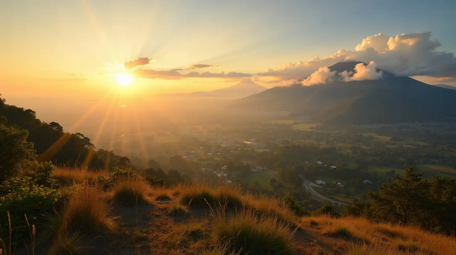
Two east-west trending mountain chains divide the country into three regions: the mountainous highlands, the Pacific coast south of mountains, and the vast northern Peten lowlands
Climate
Tropical; hot, humid in lowlands; cooler in highlands
Highest and lowest points
Highest: Volcan Tajumulco (highest point in Central America) 4,220 m. Lowest: Pacific Ocean 0 m. Mean elevation: 759 m.
Natural resources
Petroleum, nickel, rare woods, fish, chicle, hydropower
Natural hazards
Numerous volcanoes in mountains, with occasional violent earthquakes; Caribbean coast extremely susceptible to hurricanes and other tropical storms volcanism: significant volcanic activity in the Sierra Madre range; Santa Maria (3,772 m) has been deemed a Decade Volcano by the International Association of Volcanology and Chemistry of the Earth's Interior, worthy of study due to its explosive history and close proximity to human populations; Pacaya (2,552 m) is one of the country's most active volcanoes, with frequent eruptions since 1965; other historically active volcanoes include Acatenango, Almolonga, Atitlan, Fuego, and Tacana; see note 2 under "Geography - note"
Good to know
Note 1: despite having both eastern and western coastlines (Caribbean Sea and Pacific Ocean), there are no natural harbors on the west coast note 2: Guatemala is one of the countries along the Ring of Fire, which is a belt bordering the Pacific Ocean that contains about 75% of the world's volcanoes and up to 90% of the world's earthquakes
Neighbours of Guatemala's neighbours
Countries one border further away — reachable overland through a neighbouring country.
 Nicaragua
 United States
Frequently asked questions about the borders of Guatemala
How many countries border Guatemala?
Which is the longest border of Guatemala?
Is Guatemala landlocked?
How long are the land borders of Guatemala?
Do Guatemala citizens need a visa for neighbouring countries?
What is the highest point of Guatemala?
Borders and geography: CIA World Factbook (public domain). Visa rules: TravelRequirements.info — Entry Requirements Dataset, AXG Sp. z o.o. (CC BY 4.0).